
Subregion Beira Interior Norte Local time Monday 12:30 PM | Region Centro Parishes 4 Area 122 km² Population 3,430 (2011) | |
 | ||
Weather 10°C, Wind W at 16 km/h, 74% Humidity Points of interest Casa Das Penhas Douradas, Viveiros de trutas, CENTRO INTERPRETATIVO DO VALE | ||
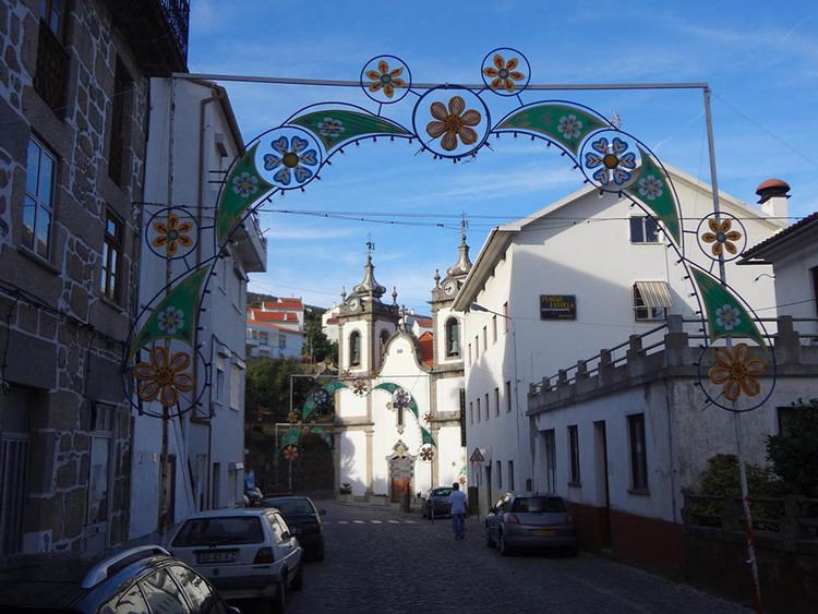
Manteigas ([mɐ̃ˈtɐjɣɐʃ]) is a town and a municipality in Portugal. The population in 2011 was 3,430, in an area of 121.98 km².
Contents
Map of Manteigas, Portugal
The municipality is located in Guarda District; in Centro Region and Beira Interior Norte Subregion. It is located in the Serra da Estrela Mountains, the highest elevation in mainland Portugal. Cities nearby: Guarda, Seia, Gouveia and Covilhã. The present Mayor is José Manuel Biscaia, elected by the Social Democratic Party.
The municipal holiday is March 4.
Parishes
Administratively, the municipality is divided into 4 civil parishes (freguesias):
References
Manteigas Wikipedia(Text) CC BY-SA