
Website howrah.gov.in Population 6,004 (2011) | Time zone IST (UTC+5:30) Local time Monday 4:59 PM | |
 | ||
Weather 28°C, Wind E at 11 km/h, 56% Humidity | ||
Mansinghapur is a census town in Jagatballavpur CD Block under Jagatballavpur police station in Sadar subdivision of Howrah district in the Indian state of West Bengal.
Contents
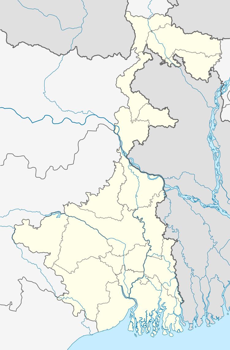
Map of Mansinhapur, West Bengal 711404
History
The town is said to have been named after the Mughal general Raja Man Singh as he is believed to have set up camp here on the banks of the Gouriganga River, while on his way to Orissa on a military expedition.
Geography
Mansinghapur is located at 22.65°N 88.15°E / 22.65; 88.15.
Demographics
As per 2011 Census of India Mansinghapur had a total population of 6,004 of which 3,109 (52%) were males and 2,895 (48%) were females. Population below 6 years was 588. The total number of literates in Mansinghapur was 4,828 (89.14 % of the population over 6 years).
As of 2001 India census, Mansinghapur had a population of 5401. Males constitute 52% of the population and females 48%. Mansinghapur has an average literacy rate of 76%, higher than the national average of 59.5%: male literacy is 81%, and female literacy is 70%. In Mansinghapur, 11% of the population is under 6 years of age.
Culture
There are three old temples in this town: Dharmathakur temple in Panditpara built in 1812, Radhakantajiu temple, Raghunathjiu temple. None of the temples presently have any terracotta carvings.