
OS grid reference SS648949 Country Wales Postcode district SA5 Dialling code 01792 | Sovereign state United Kingdom | |
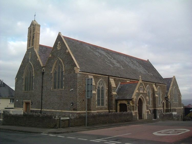 | ||
Love divine all loves excelling st michaels church manselton swansea
Manselton is a suburban area of Swansea, Wales falling within the Cwmbwrla ward. Manselton approximates to the area to the west of Llangyfelach Road just north of the railway line from Landore depot to west Wales.
Contents
- Love divine all loves excelling st michaels church manselton swansea
- Map of Manselton Swansea UK
- When i survey the wondrous cross st michaels church manselton swansea
- References
Map of Manselton, Swansea, UK
Manselton consists mainly of suburban housing, although there is large, open park area and a few shops. The local primary school is Manselton Primary school.
Grade II listed buildings in the area include:
Manselton also has a local doctors surgery which is located along the side road by the local Chemist. It also has a local community center which is located behind the chemist.
When i survey the wondrous cross st michaels church manselton swansea
References
Manselton Wikipedia(Text) CC BY-SA