
Area 4,579 km² Founder Man Singh I | Founded by Raja Man singh Time zone PST (UTC+5) | |
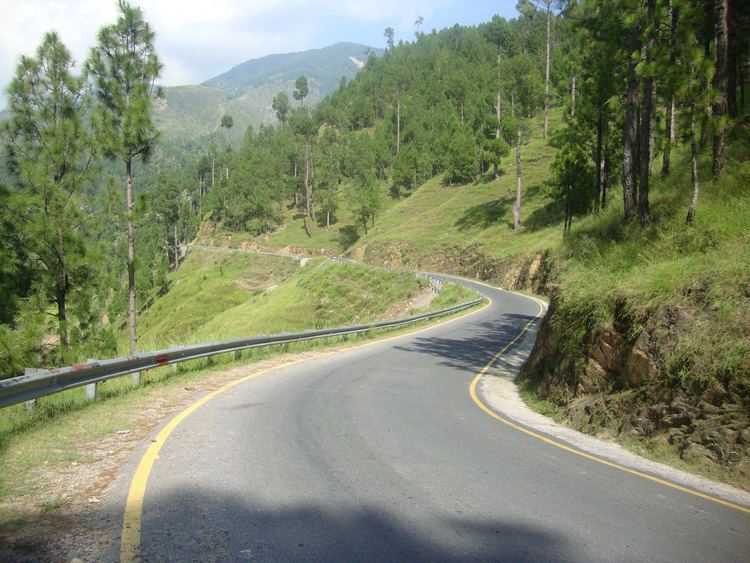 | ||
Mansehra District (مانسہرہ) is in the Hazara division of Khyber Pakhtunkhwa province of Pakistan. Mansehra district and town are named after Man Singh, a leading general of Mughal Emperor Akbar. It is considered as an important tourist location due to Kaghan Valley area being located in the district and the Karakoram Highway passing through the district.
Contents
Map of Manshera, Pakistan
It was established as a district in 1976, prior to which it was a tehsil within the former Hazara District. Two former subdivisions of Mansehra have been split off into separate districts: Battagram in 1993, and Torghar District (formerly known as Kala Dhaka) – in 2011.
Demographics
The population total for the Mansehra, Balakot and Oghi tehsils counted in the 1998 census was 978,200 The predominant language is Hindko, which according to the 1981 census data for the Mansehra Tehsil was the language of communication within 72% of households. Pashto had a share of 14%.
Constituencies
The district is represented in the Khyber Pakhtunkhwa Assembly by six elected MPAs who represent the following constituencies:
The district is represented in the National Assembly of Pakistan by two elected MNAs who represent the following constituencies:
Administrative divisions
Mansehra District consists of Five tehsils, which are divided into 59 Union Councils,.
- Balakot
- Mansehra
- Oghi
- Baffa
- Darband
Mansehra
Mansehra Tehsil consists of 41 Union Councils: