
Country United States Time zone Central (CST) (UTC-6) Local time Monday 2:13 AM | Elevation 961 ft (293 m) ZIP codes 56001-56002 Population 1,969 (2010) | |
 | ||
Weather 6°C, Wind N at 3 km/h, 76% Humidity Points of interest Mount Kato, Fort L'Huillier, Sakatah Singing Hills Stat | ||
Mankato Township is a township in Blue Earth County, Minnesota, United States. The population was 1,969 as of the 2010 census.
Contents
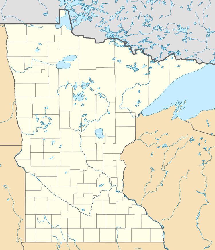
- Map of Mankato Township MN USA
- Geography
- Unincorporated communities
- Major highways
- Lakes
- Adjacent townships
- Cemeteries
- Demographics
- References
Map of Mankato Township, MN, USA
Geography
According to the United States Census Bureau, the township has a total area of 26.6 square miles (68.8 km2), of which 25.9 square miles (67.1 km2) is land and 0.66 square miles (1.7 km2), or 2.50%, is water.
The southeast three-quarters of the city of Mankato and the west half of the city of Eagle Lake are within the township geographically, as is as the entire city of Skyline. All are separate entities from the township.
Unincorporated communities
Major highways
Lakes
Adjacent townships
Cemeteries
The township includes the following cemeteries: Bunker Hill, Calvary, Glenwood, Good Counsel, Grand View Memorial, Mankato, Old Masonic, Sibley Mound, Tivoli and Woodland Hills Memorial Park.
Demographics
As of the census of 2000, there were 1,833 people, 626 households, and 520 families residing in the township. The population density was 63.4 people per square mile (24.5/km²). There were 636 housing units at an average density of 22.0/sq mi (8.5/km²). The racial makeup of the township was 98.09% White, 0.38% African American, 0.11% Native American, 0.87% Asian, 0.16% from other races, and 0.38% from two or more races. Hispanic or Latino of any race were 0.38% of the population.
There were 626 households out of which 42.8% had children under the age of 18 living with them, 75.7% were married couples living together, 4.3% had a female householder with no husband present, and 16.8% were non-families. 13.1% of all households were made up of individuals and 5.4% had someone living alone who was 65 years of age or older. The average household size was 2.92 and the average family size was 3.19.
In the township the population was spread out with 29.9% under the age of 18, 6.8% from 18 to 24, 26.4% from 25 to 44, 28.3% from 45 to 64, and 8.7% who were 65 years of age or older. The median age was 39 years. For every 100 females there were 104.8 males. For every 100 females age 18 and over, there were 102.0 males.
The median income for a household in the township was $64,471, and the median income for a family was $67,143. Males had a median income of $46,151 versus $28,571 for females. The per capita income for the township was $27,189. About 2.0% of families and 3.7% of the population were below the poverty line, including 4.8% of those under age 18 and 5.5% of those age 65 or over.