
Country United States FIPS code 27-31688 Elevation 310 m Local time Saturday 9:15 PM | Time zone Central (CST) (UTC-6) GNIS feature ID 0664571 Population 628 (2000) | |
 | ||
Weather 2°C, Wind SE at 11 km/h, 79% Humidity Area 45.32 km² (39.63 km² Land / 5.698 km² Water) | ||
Jamestown Township is a township in Blue Earth County, Minnesota, United States. The population was 628 as of the 2000 census.
Contents
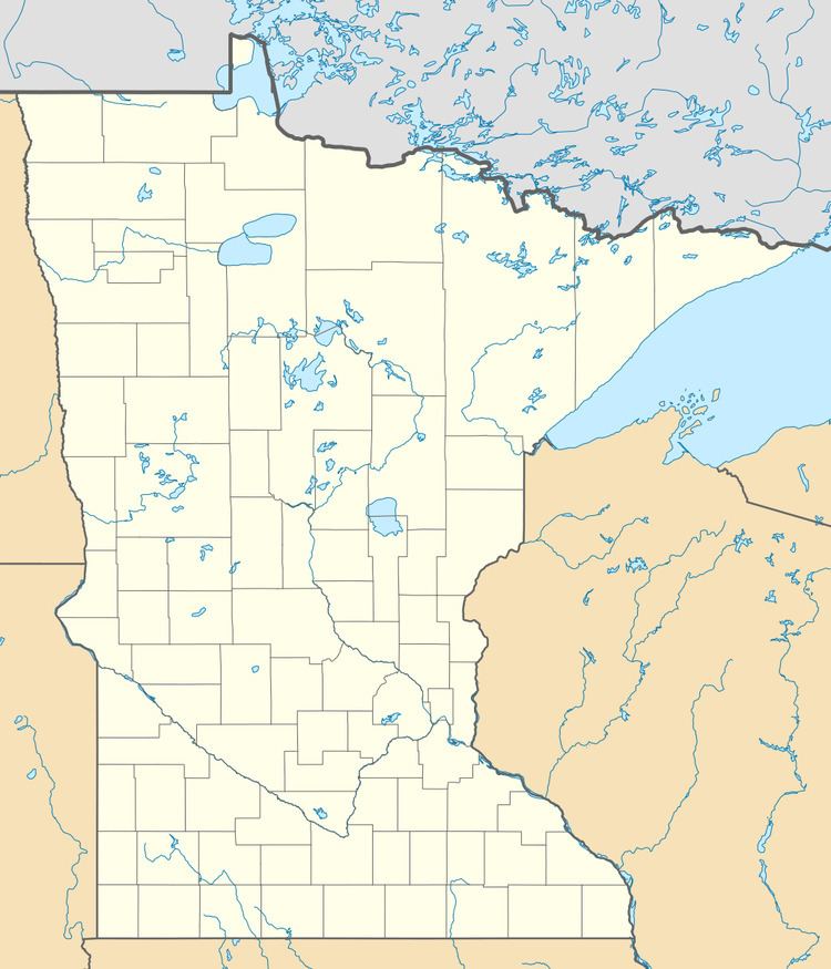
- Map of Jamestown Township MN USA
- History
- Geography
- Major highways
- Lakes
- Adjacent townships
- Cemeteries
- Demographics
- References
Map of Jamestown Township, MN, USA
History
Jamestown Township was organized in 1858, and named after Jamestown, Virginia.
Geography
According to the United States Census Bureau, the township has a total area of 17.5 square miles (45 km2), of which 15.3 square miles (40 km2) is land and 2.2 square miles (5.7 km2) (12.54%) is water.
The vast majority of the city of Madison Lake is within the township geographically but is a separate entity.
Major highways
Lakes
Adjacent townships
Cemeteries
The township includes the following cemeteries: Calvary and Sugar Grove.
Demographics
As of the census of 2000, there were 628 people, 231 households, and 182 families residing in the township. The population density was 40.9 people per square mile (15.8/km²). There were 354 housing units at an average density of 23.1/sq mi (8.9/km²). The racial makeup of the township was 99.68% White, and 0.32% from two or more races. Hispanic or Latino of any race were 0.64% of the population.
There were 231 households out of which 34.2% had children under the age of 18 living with them, 72.7% were married couples living together, 3.0% had a female householder with no husband present, and 21.2% were non-families. 17.7% of all households were made up of individuals and 6.1% had someone living alone who was 65 years of age or older. The average household size was 2.72 and the average family size was 3.09.
In the township the population was spread out with 26.3% under the age of 18, 6.5% from 18 to 24, 25.3% from 25 to 44, 30.4% from 45 to 64, and 11.5% who were 65 years of age or older. The median age was 40 years. For every 100 females there were 103.2 males. For every 100 females age 18 and over, there were 103.1 males.
The median income for a household in the township was $56,875, and the median income for a family was $62,188. Males had a median income of $36,071 versus $27,353 for females. The per capita income for the township was $26,014. About 2.8% of families and 3.6% of the population were below the poverty line, including 2.5% of those under age 18 and none of those age 65 or over.