 | ||
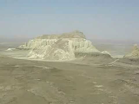
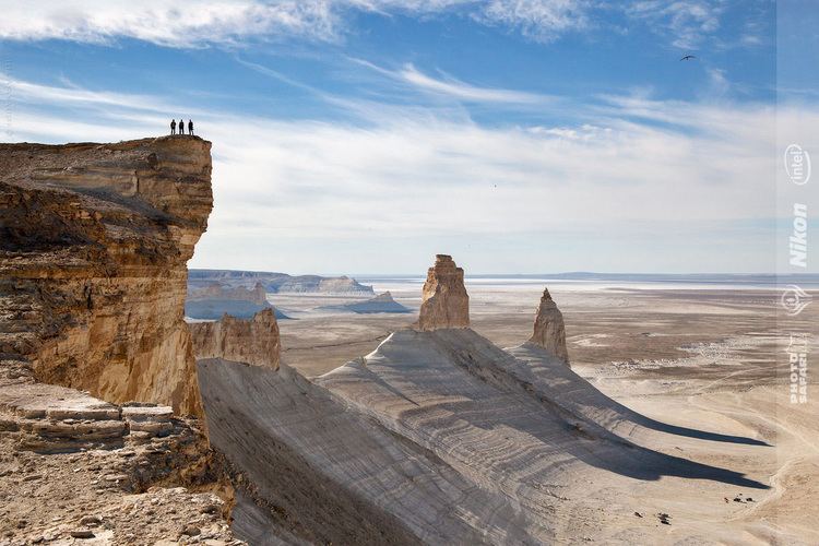
Mountainous desert in mangyshlak peninsula kazakhstan
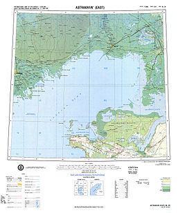
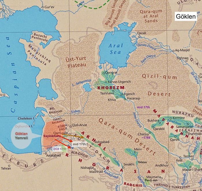
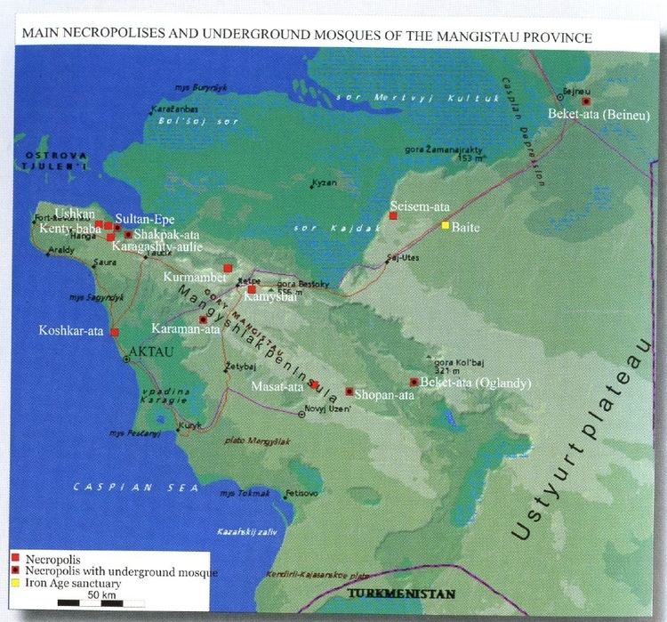
Mangyshlak or Mangghyshlaq Peninsula (Kazakh: Маңғыстау; Russian: Мангышла́к) is a large peninsula located in western Kazakhstan. It borders on the Caspian Sea in the west and with the Buzachi Peninsula, a marshy subfeature of the main peninsula, in the northeast. The Tyuleniy Archipelago lies off the northern shores of the peninsula.
Contents
- Mountainous desert in mangyshlak peninsula kazakhstan
- Kazakhstan mangyshlak peninsula karagie aria part 1 hd
- Cartography
- References
The area is between desert and semidesert with a harsh continental dry climate. There are no rivers and no fresh water springs. Geologically the Mangyshlak Peninsula is part of the Ustyurt Plateau. To the north three mountain ranges are stretching across the peninsula, North and South Aktau Range, and the Mangystau Range with the highest point reaching 555 m. Administratively the peninsula is in Kazakhstan's Mangystau Province. The largest city, and the capital of the province, is Aktau (formerly Shevchenko).
This peninsula was formerly also known as Sīāhkūh (Persian: سیاهکوه) which means 'Black Mountain' in Persian. The Mangyshlak peninsula was overtaken in 1639 by Kalmyks.
Kazakhstan mangyshlak peninsula karagie aria part 1 hd
Cartography
The area was cartographed by Fedor Ivanovich Soimonov during the Caspian Expedition, which surveyed the Caspian Sea from 1719 to 1727.