
Time zone EAT (UTC+3) Local time Monday 1:47 AM | County Mandera Population 30,433 (1999) Number of airports 1 | |
 | ||
Weather 29°C, Wind SE at 16 km/h, 46% Humidity | ||
Mandera party formed political leaders ditch jubilee unveil new party
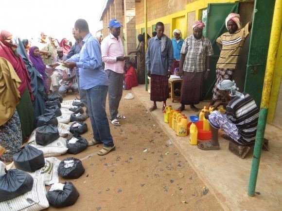
Mandera (Somali: Mandheera) is the capital of Mandera County in the former North Eastern Province of Kenya. It is situated at around 3°55′N 41°50′E, near the borders with Somalia and Ethiopia.
Contents
- Mandera party formed political leaders ditch jubilee unveil new party
- Map of Mandera Kenya
- Mandera politics political leaders ditch jubilee unveil new party
- Districts
- Demographics
- Climate
- References
Map of Mandera, Kenya
Mandera politics political leaders ditch jubilee unveil new party
Districts
Mandera is the capital of the Mandera District.
As a whole, it used to constitute one district, which was divided into three smaller constituencies; namely, Mandera East, Mandera Central and Mandera West. However, Kenyan President Mwai Kibaki in 2007 ordered the creation of two more districts: Mandera Central Mandera West Lafey, Mandera north and Banisa. This brought the total number of local districts to six.
The town occupies an area of 26,744 km².
Demographics
As with the other areas of the North Eastern Province, Mandera is predominantly inhabited by ethnic Somalis.
Climate
Mandera's climate is categorized as arid under the Köppen climate classification. Temperatures tend to be hot throughout the year. Daily temperatures are typically above 30 °C (86 °F), while at night, they can fall to 20 °C (68 °F). Precipitation is extremely low, with the area receiving a very minimal amount of rain. Droughts are not unusual, often resulting in significant loss of livestock in rural areas where pastoralism is common.