
Time zone IST (UTC+5:30) Local time Monday 3:53 AM | Talukas Mandasa PIN 532242 | |
 | ||
Weather 25°C, Wind SW at 10 km/h, 90% Humidity | ||
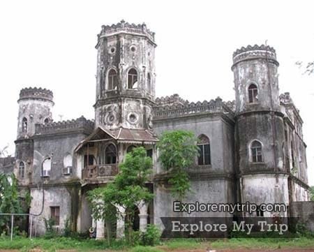
Mandasa saraswathi studio
Mandasa is a village in Srikakulam district of the Indian state of Andhra Pradesh. Mandasa is also known by the name Manjusha.
Contents
- Mandasa saraswathi studio
- Map of Mandasa Andhra Pradesh 532242
- Mandasa top view video
- Geography
- Demographics
- Transport
- References
Map of Mandasa, Andhra Pradesh 532242
Mandasa top view video
Geography
Mandasa is located at 18.8667°N 84.4667°E / 18.8667; 84.4667. It has an average elevation of 31 meters (104 feet). Mandasa mandal is bordered by Sompeta mandal to the northeast, Palasa mandal to the southwest, Vajrapu Kotturu mandal to the south, Patrapur block of Ganjam district, Odisha to the north, Rayagada block of Gajapati district, Odisha to the west and Bay of Bengal to the east.
Demographics
According to Indian census, 2001, the demographic details of Mandasa mandal is as follows:
Transport
Mandasa is connected with 'Mandasa Road' railway station on Howrah-Chennai mainline in East Coast Railway, Indian Railways.
References
Mandasa Wikipedia(Text) CC BY-SA