
Country Burma | Time zone MST (UTC+6:30) | |
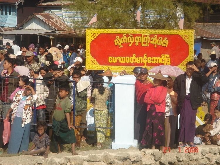 | ||
Part v manaung township capcity building and english summer camp
Manaung Township (Burmese: မာန်အောင်မြို့နယ်) is a township of Kyaukpyu District in the Rakhine State of Western Myanmar. The principal town is Manaung. Manaung Township, situated on Manaung Island consists of three islands: Manaung Island, Ye Kyun Island and Taik Kyu Island. Manaung is not only a township of Kyaukpyu District but also the second biggest island of Rakhine State in Myanmar.
Contents
- Part v manaung township capcity building and english summer camp
- Part ii manaung township capcity building and english summer camp
- Education
- List of Township Administrators
- References
There are Bay of Bengal in the West and Northwest, Ramree Island in the Northeast, Ye Kyun Island in the South and Taungup in the East. Manaung Island, about 55 miles in circumference, is situated at 18'47 (898'N) and 93'98 (472'E) in the Rakhine Coast of Myanmar.
The highest mountain is 972 feet (296 m) high and the lowest level is 6 feet (1.8 m) above sea level. Manaung Township is 202.05 square mile (Area 120309) wide. The population was 95927 on October 31, 2007.
There are 5 wards and 138 villages in Manaung Township.
Manaung Township has 94724 of Rakhine, 937 of Chin, 3 of Myo, 2 of Kame, 236 of Bamar, 2 of Dinae, 1 of Thet, 24 of Kayin, 2 of Kayah and 6 of Shan. Religion has only Buddhist. There are 63 pagodas and 27 buddhist images. There are 180 monks, 178 novices and 22 nuns.
There is one township stadium.
Part ii manaung township capcity building and english summer camp
Education
There are 7 high schools, 11 middle schools and 106 elementary schools. There is one nusery school. There are 127 librarys.