
Local time Monday 12:29 AM Area code 0413 | State Puducherry Time zone IST (UTC+5:30) Population 36,983 (2001) | |
 | ||
Weather 28°C, Wind SE at 3 km/h, 86% Humidity | ||
Manamedu (Tamil: மனமேடு) is a village in Bahour Commune of Bahour taluk in the Union Territory of Puducherry, India. It is one of the 11 Enclaves of Puducherry. Manmedu serves as a gateway to Puducherry - Nellikuppam route. It lies on the banks of Pennaiyar River
Contents
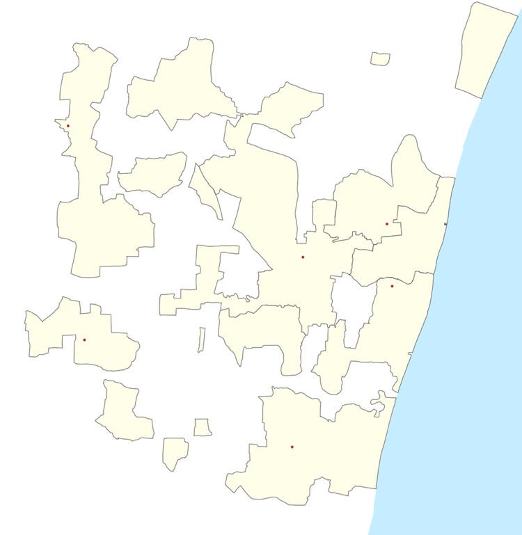
Map of Manamedu, Puducherry
History
The name Manamedu means high area on the banks of a river. Manalmedu is being called as Manamedu.
Geography
Manamedu is connected to Bahour, its Commune Headquarters by Frontier Road (RC-21). A bridge is being constructed across Pennaiyar River at Manamedu. Upon its completion, Manamedu will serve has an vital point on Puducherry-Nellikuppam route.
Villages
Manamedu village panchayat consist of
Politics
Manamedu is a part of Nettapakkam (Union Territory Assembly constituency) which comes under Puducherry (Lok Sabha constituency)