
Country United States County Dubois Time zone EST (UTC-5) Elevation 152 m | State Indiana Township Bainbridge ZIP code 47546 Local time Sunday 7:44 AM | |
 | ||
Weather -1°C, Wind S at 0 km/h, 88% Humidity | ||
Maltersville is an unincorporated community in Bainbridge Township, Dubois County, in the U.S. state of Indiana.
Contents
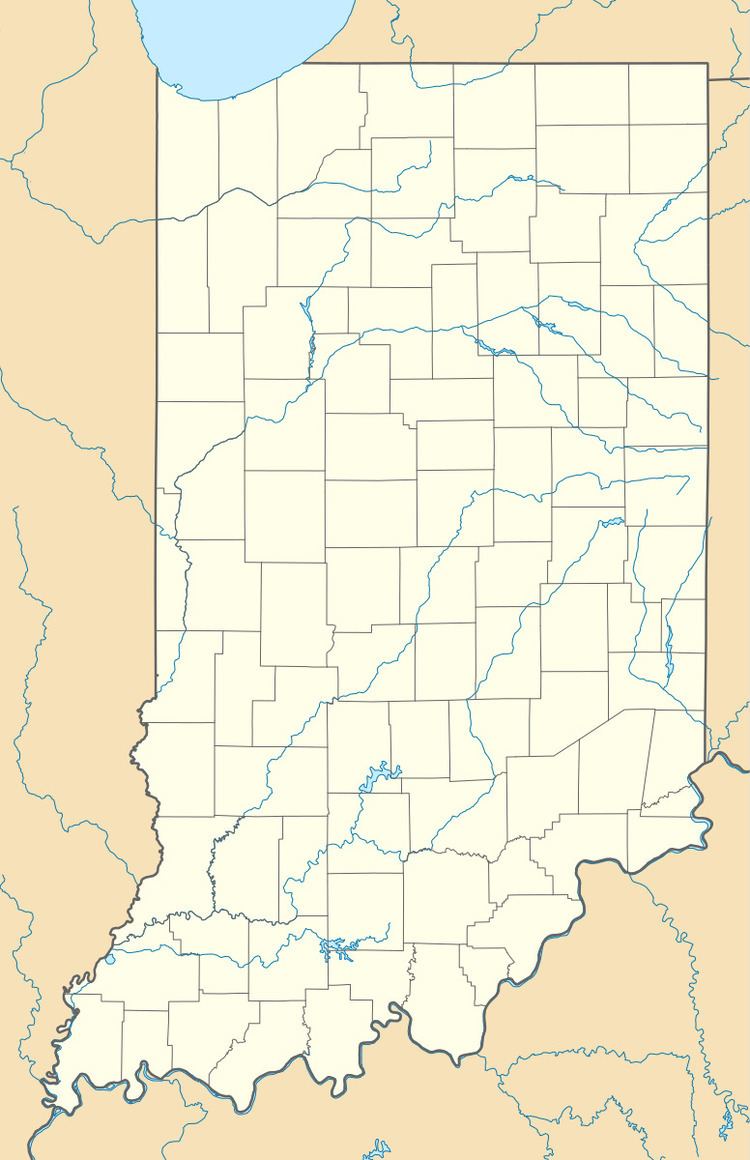
Map of Maltersville, IN 47542, USA
History
Maltersville was laid out in 1867 by Mrs. Anna Barbara Malter.
Geography
Maltersville is located at 38°20′47″N 86°53′23″W.
References
Maltersville, Indiana Wikipedia(Text) CC BY-SA