
Traversed by Road | Elevation 1,815 m | |
 | ||
Similar Julier Pass, Alps, Splügen Pass, Bernina Pass, Val Bregaglia | ||
Maloja pass 1815m xj600n gopro hero2
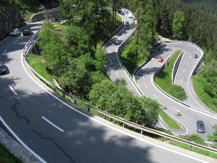
Maloja Pass (Italian: Passo del Maloja, German: Malojapass) (1815m a.s.l.) is a high mountain pass in the Swiss Alps in the canton of Graubünden, linking the Engadine with the Val Bregaglia, still in Switzerland and Chiavenna in Italy. It marks the watershed between the Danube and Po basins.
Contents
- Maloja pass 1815m xj600n gopro hero2
- Map of Maloja Pass 7516 Bregaglia Switzerland
- Maloja pass to st moritz triumph street triple r no windnoise no music
- References
Map of Maloja Pass, 7516 Bregaglia, Switzerland
The road from Chiavenna to Silvaplana with distances and elevation:
The Maloja Pass is open in winter. However, after heavy snowfalls the road may be closed for a couple of hours or for an entire day. Even if open, the road might be covered with snow making snow/winter tires, or chains, a necessity.
Maloja pass to st moritz triumph street triple r no windnoise no music
References
Maloja Pass Wikipedia(Text) CC BY-SA