
Governing body U.S. Forest Service Established July 1, 1908 | Visitors 242,000 (in 2006) Area 5,930 km² Nearest city Canyon City | |
 | ||
Management | ||
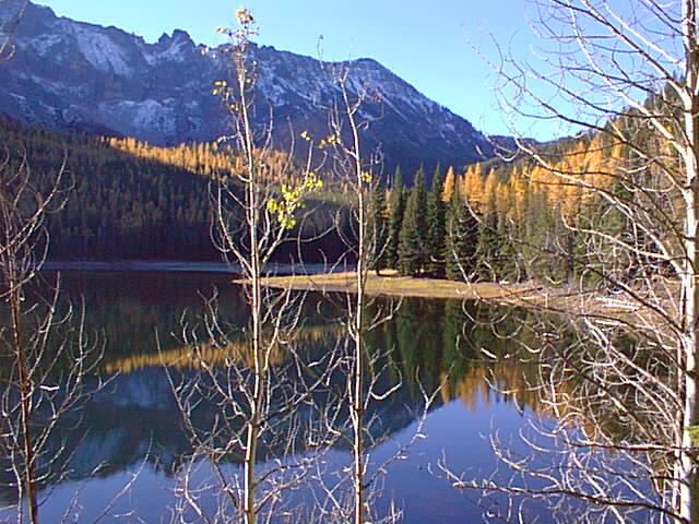
The Malheur National Forest is a National Forest in the U.S. state of Oregon. It contains more than 1.4 million acres (5,700 km2) in the Blue Mountains of eastern Oregon. The forest consists of high desert grasslands, sage, juniper, pine, fir, and other tree species. Elevations vary from about 4,000 feet (1,200 m) to the 9,038-foot (2,755 m) peak of Strawberry Mountain. The Strawberry Mountains extend east to west through the center of the forest. U.S. Route 395 runs south to north through the forest, while U.S. Route 26 runs east to west.
Contents
Map of Malheur National Forest, Oregon 97820, USA
Overview
The forest was established by President Theodore Roosevelt on June 13, 1908, and is named after the Malheur River, from the French, meaning "misfortune". It is managed by the United States Forest Service for timber extraction, cattle grazing, gold mining and wilderness use. A 1993 Forest Service study estimated that the extent of old growth in the forest was 312,000 acres (1,260 km2).
In descending order of land area, the forest is located in parts of Grant, Harney, Baker, and Malheur counties. There are three ranger districts in the forest, with offices in John Day, Prairie City, and Hines.
The Malheur National Forest contains the largest known organism (by area) in the world: an Armillaria solidipes that spans 2,200 acres (8.9 km2).
Wilderness
There are two wilderness areas in the Malheur National Forest.