
Country Ukraine Established 1377 Time zone EET (UTC+2) Area 5.79 km² | Elevation/(average value of) 268 m (879 ft) Postal code 80383 Local time Sunday 7:36 AM | |
 | ||
Weather 2°C, Wind W at 31 km/h, 73% Humidity | ||
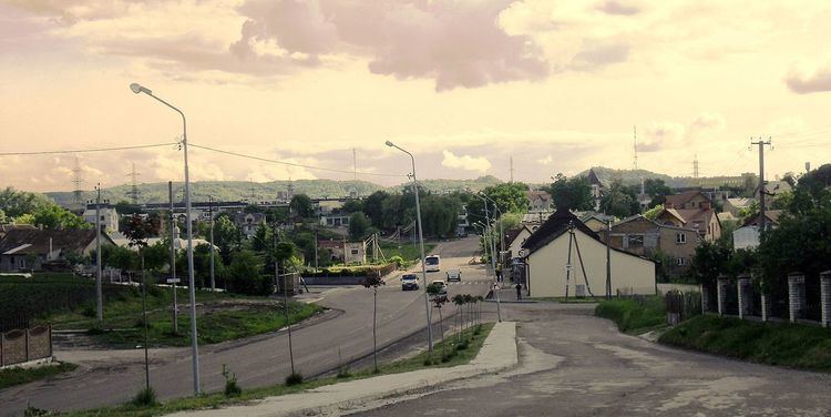
Malekhiv (Ukrainian: Мале́хів) — village in Zhovkva Raion of Lviv region (Lviv Oblast), is located at a distance of 6 kilometres (3.7 mi) northeast of the city Lviv. It is at a distance 29 kilometres (18 mi) from the district center Zhovkva, and 7 kilometres (4.3 mi) from the village Velyki Hrybovychi.
Elevation footnotes (average value of) is 268 metres (880 ft). Local government — Malekhivska village council.
Contents
Map of Malekhiv, Lvivska, Ukraine
Through the village passes Highway M06 (Ukraine) ().
History
The first mention of villages Malekhiv in historical documents refers to 1377. But Ancient people have lived in territory of village Malekhiv in the first century AD.
History of the name — Malechow (Lemberg Umgebung), Galicia, Austria; later Malechow (Lwow), Lwow, Poland; now Malekhiv, Zhovkva, L′viv, Ukraine.
Religious communities
In the village there are three religious communities. This religious community of the Ukrainian Greek Catholic Church, the Roman Catholic Church and Religious Communities Ukrainian Orthodox Autocephalous Church.
There has church Cathedral of the Most Holy Theotokos, which belongs to the Greek Catholic community (the temple was built in 1892), and Catholic church of St. Archangel Michael (was built in 70 years of the 18th century).