
Postal Code M5613 Area 41,317 km² | Established November 16, 1850 Demonym(s) malargüino/na IFAM MZA010 Area code 02627 | |
 | ||
Points of interest Reserva Provincial La Payunia, Reserva Provincial Castillos, Laguna de la Niña Encantada, Witches' Cave, Llancanelo Lake | ||
Malargüe is a department located in the south west of Mendoza Province in Argentina. Its borders are San Rafael in the north, La Pampa Province in the east, Neuquén Province in the south and Chile to the west.
Contents
- Map of MalargC3BCe Department Mendoza Province Argentina
- Geography
- Districts
- Hydrology
- Science
- Tourism
- References
Map of Malarg%C3%BCe Department, Mendoza Province, Argentina
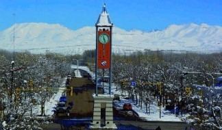
The provincial subdivision has a population of about 23,000 inhabitants in an area of 41,317 km², and its capital city is Malargüe, which is located around 1,180 km from the federal capital Buenos Aires.
Geography
The south of the Malargüe Department is considered as the north tip of the Patagonia and is home to the many nature reserves such as La Payunia, Castillos de Pincheira, Caverna de las Brujas and Laguna de Llancanelo.
Districts
The department is divided in four districts:
Hydrology
Malargüe has many hydric resources. Among its most important rivers are the Grande River, the Colorado River, the Barrancas River and the Malargüe River, and the lagoons of Llancanelo, Negra and Niña Encantada.
Science
Malargüe is home to the Pierre Auger Observatory, an observatory designed to detect ultra-high-energy cosmic rays.
Tourism
The department has many exciting natural landmarks and is well suited for adventure tourism such as mountaineering, paragliding, rafting and kayaking. Here are located such exciting landmarks as Castillos de Pincheira, Tigre Cave, Brujas Cave and Pozo de las Ánimas - two closely located, up to 101 m deep sinkholes, where the wind often creates a howling sound.
Malargüe Department is home to the famous skiing resort of Las Leñas.