
District Mahabo Elevation 140 m Population 26,000 (2001) | Time zone EAT (UTC3) Local time Sunday 3:21 AM | |
 | ||
Weather 26°C, Wind SE at 3 km/h, 76% Humidity | ||
Malaimbandy is a town and commune (Malagasy: kaominina) in Madagascar. It belongs to the district of Mahabo, which is a part of Menabe Region. The population of the commune was estimated to be approximately 26,000 in 2001 commune census.
Contents
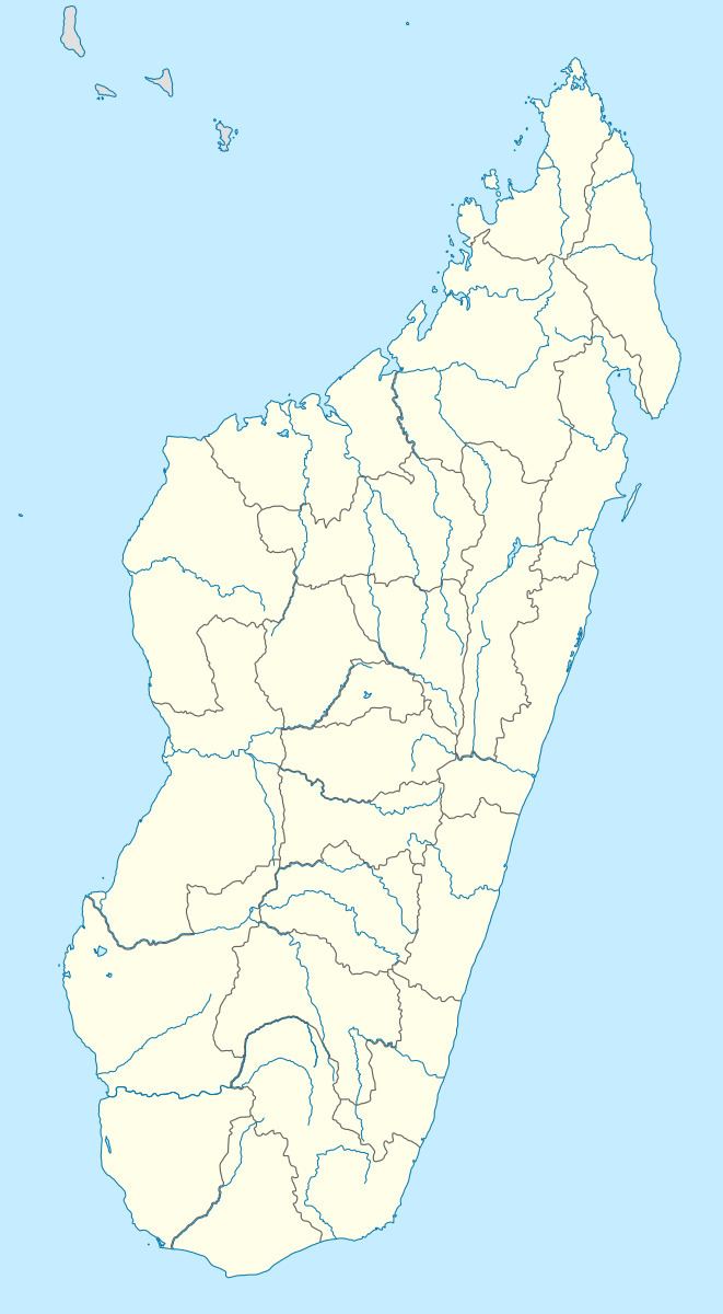
Map of Malaimbandy, Madagascar
Malaimbandy is just served by a local airport. Primary and junior level secondary education are available in town. The majority 70% of the population of the commune are farmers, while an additional 30% receives their livelihood from raising livestock. The most important crop is rice, while other important products are cassava and tobacco.
Geography
This town lies at the intersection of the Route nationale 35 from Morondava to Ivato, Ambositra and the Route nationale 34 to Miandrivazo.
It is located at a distance of 280 km to Ivato, Ambositra, 176 km to Morondava, 77 km to Ankilizato, Mahabo and 72 km from Mandrosonoro.