
District Miandrivazo Elevation 100 m Number of airports 1 | Time zone EAT (UTC3) Local time Monday 7:57 PM | |
 | ||
Weather 29°C, Wind W at 3 km/h, 70% Humidity | ||
Circuit ouest madagascar tana miandrivazo descente tsiribihina belo sur tsiribihina bekopaka
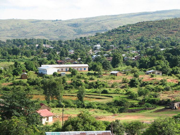
Miandrivazo is a town and commune (Malagasy: kaominina) in Madagascar. It is situated at the Mahajilo River and belongs to the district of Miandrivazo, which is a part of Menabe Region. The population of the commune was estimated to be approximately 108,000 in 2001 commune census.
Contents
- Circuit ouest madagascar tana miandrivazo descente tsiribihina belo sur tsiribihina bekopaka
- Map of Miandrivazo Madagascar
- References
Map of Miandrivazo, Madagascar
Miandrivazo is served by a local airport. In addition to primary schooling the town offers secondary education at both junior and senior levels. The town has a permanent court and hospital.
The majority 80% of the population of the commune are farmers, while an additional 5% receives their livelihood from raising livestock. The most important crop is rice, while other important products are beans and maize. Services provide employment for 10% of the population. Additionally fishing employs 5% of the population.