
Settled 1810 Time zone EST (UTC-5) Population 9,146 (2011) Local time Saturday 8:18 PM | Incorporated 1998 (current form) Postal code span N0L Area code Area codes 519 and 226 | |
 | ||
Weather 1°C, Wind N at 6 km/h, 91% Humidity | ||
Malahide (Canada 2006 Census population 8,828) is a municipal township in Elgin County in Southwestern Ontario, Canada.
Contents
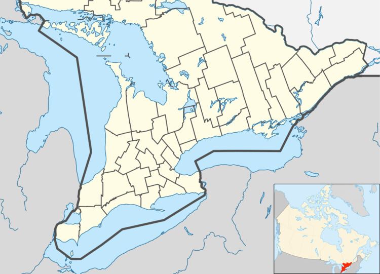
Map of Malahide, ON, Canada
History
Malahide Township was named for Malahide Castle in Malahide, Ireland, birthplace of land grant administrator Colonel Thomas Talbot in 1810. The village of Springfield was incorporated as a separate municipality in 1878.
The current municipality was formed in 1998 through an amalgamation of the original Township of Malahide, the former Township of South Dorchester and the former Village of Springfield.
The Ontario Police College is located in Malahide, at the site of the former Royal Canadian Air Force Station Aylmer, a training facility.
Communities
The township comprises the communities of Candyville, Crossley-Hunter, Copenhagen, Dunboyne, Fairview, Glencolin, Grovesend, Jaffa, Kingsmill, Lakeview, Little Aylmer, Luton, Lyons, Mile Corner, Mount Salem, Mount Vernon, Ormond Beach, Orwell, Port Bruce, Seville, Springfield, Summers Corners and Waneeta Beach.
Demographics
Population trend: