
Length 475 km Country Tanzania | River system Congo River Bridges Kikwete Bridge | |
 | ||
Basin size 130,000 km (50,000 sq mi) | ||
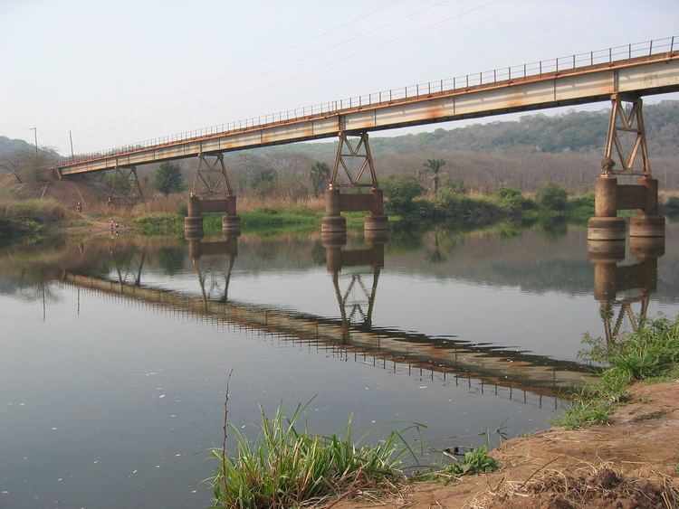
The Malagarasi River is a river of southeastern Burundi and northwestern Tanzania, flowing through Kigoma Region. It is the second-longest river in the country, and has the largest watershed of all of the rivers flowing into Lake Tanganyika. The Malagarasi-Muyovozi Wetlands are a designated a Ramsar site. Local tribes have nicknamed the Malagarasi as "the river of bad spirits".
Contents
- Map of Malagarasi River Tanzania
- GeographyEdit
- HistoryEdit
- CultureEdit
- Flora and faunaEdit
- Environmental protectionEdit
- References
Map of Malagarasi River, Tanzania
GeographyEdit
The Malagarasi is the second longest river in the country, at 475 kilometres (295 mi), and with a basin area of 130,000 square kilometres (50,000 sq mi), the Malagarasi has the largest watershed of all of the rivers flowing into Lake Tanganyika. The source of the river is near the Burundi-Tanzania border. The first 80 kilometres (50 mi) of the river form the international boundary between Tanzania and Burundi. Several tributaries from the Burundi highlands join its right bank. After the confluence with the Lumpungu River, the Malagarasi enters Tanzania, makes a circle and empties into the eastern side of Lake Tanganyika about 25 miles (40 km) south of Kigoma, near Ilagala. It is one of the lake's primary inflows. Moyowosi River is the principal tributary, along with its affluent the Nikongo River; other tributaries include Ugalla River, Gombe River, Ruchugi River, Lumpungu River, and Nguya River. At a length of 475 kilometres (295 mi), it is the second longest river in Tanzania, and with a basin area of 130,000 square kilometres (50,000 sq mi), the Malagasi has the largest watershed of all of the rivers flowing into Lake Tanganyika. Characterized as a low stream river, its drainage includes four biotopes: swampy areas, river channels, a flowing river with a few moderate rapids, and a large double-branched delta.
The flow of the river ranges dramatically between the annual cycle of wet and dry seasons, and at times may be susceptible to flooding or reduced to a small stream; flow is also affected by local agriculture and deforestation which increase the level of sediments within the river. At Mberagule, the flow of the river has been gauged to be 6.9 cubic kilometers. About 80 kilometres (50 mi) from the mouth, the river flows through the Moyowosi swamplands, an area of "extensive swamps and floodplains" and a "marshy labyrinth". It passes through the Dodoma Belt, a geological area of Archaean and Proterozoic age Precambrian crystalline rocks.
HistoryEdit
According to Rosemary Lowe-McConnell, "the Malagarasi and the Rungwa River are assumed to be relict headwaters of the extended pre-rift Zaire system". The Malagarasi pre-dates Lake Tanganyika and was in pre-rift times a tributary of the Congo River to its west. Lake Tanganyika has since said to have "undergone both transgression and regression, depositing new sediments, altering the delta, and changing the course of the river". Over its history, the lake level has altered dramatically between 100 and 200 metres; historical accounts from the late nineteenth century indicate that it was about 10 metres (33 ft) higher than it is today.
CultureEdit
Local tribes have nicknamed the Malagarasi as "the river of bad spirits". In the late 19th century, the Wavinza people, who ran the river's ferry service from the left bank, avoided assimilation with the Wanyamwesi people because of the natural barrier formed by the Malagarasi. Also on the other bank were the Wangoni (Watutu Zulus). Henry Morton Stanley, who considered missionaries important to Africa's "civilizing process", stated that missionaries could follow the Malagarasi and participate in "conversion-tours to Uvinza, Uhha, and Ugala".
Flora and faunaEdit
The flora includes Albizzia gummifera, Bridelia micrantha, Cyperus papyrus, Diospyros mespiliformis, Ficus sycomorus, Ficus verruculosa, Isoberlinia spp., Khaya senegalensis, Parkia filicoidea, Phoenix reclinata, Syzgium cordatum, and Syzgium owariense. Mesobola spinifer, also known as "Malagarasi Sardine", is endemic to the river. In the valley grasslands there are prominent species such as Hyparrhenia, Themeda, Echinochloa. The Malagarasi contains several fish species which occur in the Congo River Basin but not in Lake Tanganyika. Giant freshwater Mbu pufferfish, however, occur in both the Central and Upper Zaire Basin and the Malagarasi River. Waterbuck and hippopotamus are common in the swamps. Concerns have been raised over hippo poaching in the river basin by the Wanyahosa people, who prefer the meat over fish.
Environmental protectionEdit
The Malagarasi-Muyovozi Wetlands became a designated a Ramsar site on April 13, 2000. It is the country's first Ramsar Site. Measuring 35,000 square kilometres (14,000 sq mi), it is the world's third largest Ramsar Site, and contains more than 50 indigenous fish species, such as the Dark stonebasher, being a rare fish species example. The Wetlands are an important part of the Malagarasi River basin, itself constituting about one third of the Lake Tanganyika catchment area.