
Country India Lok Sabha constituency Jalpaiguri Area 546 km² | Time zone IST (UTC+5:30) | |
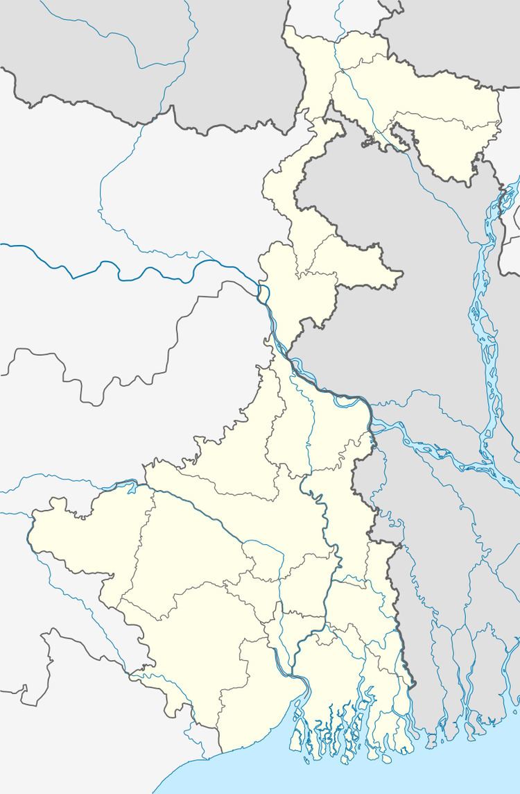 | ||
Mal (community development block) is an administrative division in Malbazar subdivision of Jalpaiguri district in the Indian state of West Bengal. Mal police station serves this block. Headquarters of this block is at Malbazar.
Contents
Geography
Malbazar is located at 26°51′N 88°45′E.
Mal community development block has an area of 545.99 km2.
Gram panchayats
Gram panchayats of Mal block/ panchayat samiti are: Bagrakote, Chapadanga, Chengmari, Damdim, Kranti, Kumlai, Lataguri, Moulani, Odlabari, Rajadanga, Rungamuttee and Tesimla.
Demographics
As per 2011 Census of India Mal CD Block had a total population of 299,556 of which 275,184 were rural and 24,172 were urban. There were 151,826 males and 147,730 females. Scheduled Castes numbered 80,400 and Scheduled Tribes numbered 103,356.
Literacy
As per 2011 census the total number of literates in Mal CD Block was 172,753, out of which 97,994 were males and 74,759 were females.
Transport
NH 31 passes through the block.