
Vehicle registration JH Elevation 93 m | Time zone IST (UTC+5:30) Coastline 0 kilometres (0 mi) Local time Saturday 3:09 PM | |
 | ||
Weather 35°C, Wind NW at 14 km/h, 14% Humidity | ||
Mahulia is a town in East Singhbhum district, Jharkhand, India.
Contents
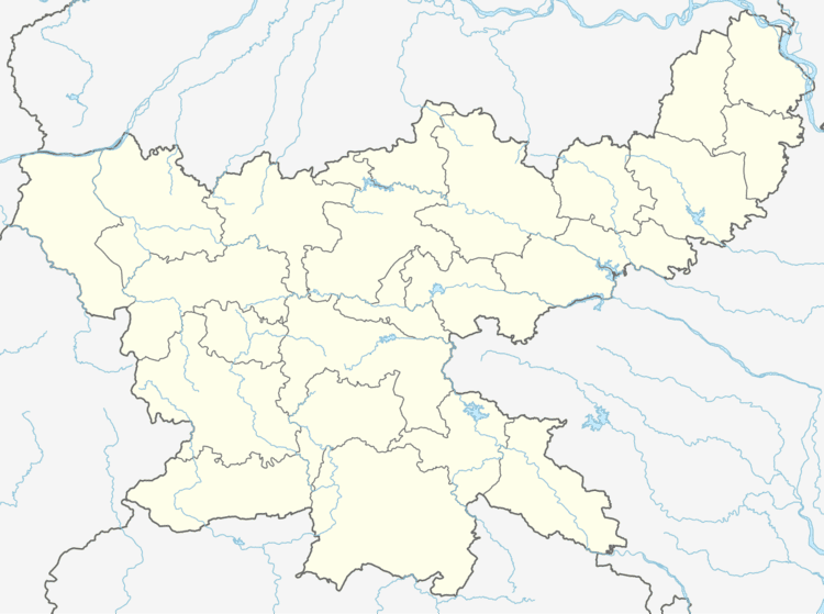
Map of Mahulia, Jharkhand 832304
Geography
It is located at 22°39′0″N 86°24′0″E at an elevation of 93 m from MSL. It is about 30 km from Jamshedpur. It has its own railway station which serves mainly local trains. It has a dam over the Subarnekha River.
Location
National Highway 33 passes through Mahulia. Nearest airport is Sonari Airport and railway station is at Ghatsila.
References
Mahulia Wikipedia(Text) CC BY-SA