
Vehicle registration UK Local time Saturday 3:06 PM | Time zone IST (UTC+5:30) Website uk.gov.in Population 6,110 (2001) | |
 | ||
Weather 28°C, Wind W at 14 km/h, 26% Humidity | ||
Mahua Dabra Haripura is a town, a nagar panchayat in Udham Singh Nagar district in the Indian state of Uttarakhand.
Contents
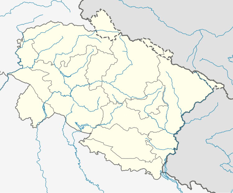
Map of Mahua Dabra Haripura, Uttarakhand
Geography
Mahuadabra Haripura is located at 29.26°N 78.79°E / 29.26; 78.79.
Demographics
As of 2001 India census, Mahua Dabra Haripura had a population of 6110. Males constitute 52% of the population and females 48%. Mahuadabra Haripura has an average literacy rate of 59%, lower than the national average of 59.5%: male literacy is 68%, and female literacy is 49%. In Mahua Dabra Haripura, 18% of the population is under 6 years of age.
References
Mahua Dabra Haripura Wikipedia(Text) CC BY-SA