
Width 5 km (3.1 mi) | Length 25 km (16 mi) NE–SW Elevation 1,270 m | |
 | ||
Mountains Old Speck Mountain, Goose Eye Mountain, Baldpate Mountain, Sunday River Whitecap, Puzzle Mountain | ||
2014 maine venture trek old speck fire tower mahoosuc range me
The Mahoosuc Range, a northern extension of the White Mountains, straddles the border between New Hampshire and Maine. The range's highest peak, 4,180-foot Old Speck Mountain, is the fourth-highest peak in Maine. Substantial parts of the range are publicly owned as parts of the National Park Service Appalachian Trail corridor and Grafton Notch State Park in Maine.
Contents
- 2014 maine venture trek old speck fire tower mahoosuc range me
- Map of Mahoosuc Range North Oxford ME 04261 USA
- Hiking in the mahoosuc range on the carlo col trail
- MountainsEdit
- References
Map of Mahoosuc Range, North Oxford, ME 04261, USA
The Appalachian Trail traverses the main ridge of the Mahoosucs between Shelburne, New Hampshire and Grafton Notch in Maine. Mahoosuc Notch, considered one of the most difficult sections of the Appalachian Trail, cuts a deep cleft in the middle of the range between Mahoosuc Mountain and Fulling Mill Mountain.
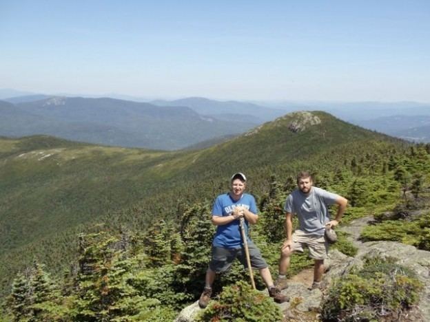
Hiking in the mahoosuc range on the carlo col trail
MountainsEdit
(from north to south)
References
Mahoosuc Range Wikipedia(Text) CC BY-SA