
Country India District Kolhapur Time zone IST (UTC+5:30) Elevation 624 m Population 20,108 (2011) | Demonym(s) Mahagaokar PIN 416503 Area 7.97 km² Area code 02327 | |
 | ||
Mahagaon gadhinglaj
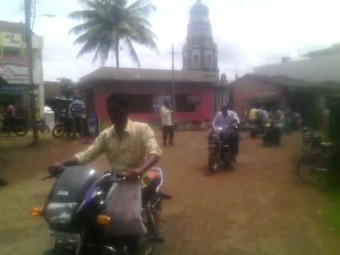
Mahagaon is a town in Gadhinglaj Taluka, Kolhapur district, situated in the southwest corner of the state of Maharashtra, India. Mahagaon is situated on the banks of Hiranyakeshi river originated from the Great Amboli Ghats is about 10 km from Gadhinglaj towards south and 14 km from the second-largest city Kadgaon in Gadhinglaj Taluka. It is managed by a town council. In 2011 it had a population of about 20,108. Mahagaon is the fourth-largest city in Gadhinglaj Taluka. It is a major town and educational center in South Maharashtra.
Contents
- Mahagaon gadhinglaj
- Geography
- History
- Demography
- Civic administration
- Education
- Economy
- Places of interest
- Transportation
- Nearest major airports
- Nearest railway stations
- References
Geography
Mahagaon is located at 16.14184°N 74.336683°E / 16.14184; 74.336683. It has an average elevation of 624 metres (2043 feet). It is situated on banks of Hiranyakeshi river originated from the Great Amboli Ghats. Mahagaon has an average Weather of clean sky and temperature of around 18°C in winter and 25°C in summer and have more rainfall than average in Kolhapur District It is a town, located near at the border of Maharashtra and Karnataka.
History
History of Mahagaon dates back to 1500 AD. It history is as old as Gadhinglaj and Kadgaon it was always a bustling town. But in recent years it has seen a boom in economy, population and in real estate. It is an Important Education center.
Demography
As of 2001 India census, Mahagaon had a population of 14,549. But As of 2011 India census Mahagaon has a population is 20,108, which includes Mahagaon town as well as extended areas included in the town. Males constitute 51% of the population and females 49%. Mahagagaon has an average literacy rate of 78%, higher than the national average of 74.9%: male literacy is 84%, and female literacy is 72%. In Mahagaon, 11% of the population is under 6 years of age.
The language most widely spoken is Marathi with 20,108 people speaking Marathi as their primary language. Hinduism is the largest religion with 20,050 people following Hinduism followed by Muslim with 40 and by Catholic with 11 and then followed Buddhist with 7 peoples.
Civic administration
The civic administration of the town is managed by the Mahagaon Town Council (Gram Panchyat). It is headed by the 'Sarpanch' who is assisted by council chief officer and council members. The electrical supply to the city is managed by the Maharashtra State Electricity Distribution Company Limited (MAHADISCOM).
Education
Mahagaon has many educational institutes, school, and colleges from arts to management to all science sectors. It has many schools and college and in recent years it is becoming a hub for Public and Boarding School. All this has happened due to it location, civic amenities and climates.
Economy
Mahagaon major businesses are education sector, trading, sugar production, red chili. Marketing hub due to it is near Goa and Sindhudurg district and it education sector is developing on a very large scale for world class and higher education. Its trading business and real estate is booming on a large scale. It has many national and local banks due to its economy.
Places of interest
Transportation
Mahagaon is connected to all major cities and towns of Maharashtra and the rest of India by numerous state highways and is about 15 km from National Highway 4 (NH 4).
Nearest major airports
Nearest railway stations
Belgaum towards south, Ghataprabha towards east, Kolhapur towards north and Savantwadi towards west.
Other distances from Mahagaon
- Via Ajara, Amboli, Savantwadi
- Via Nesari, Chandgad, Tilari, Dodamarg.