
Population 731 (2011) Sovereign state United Kingdom Local time Friday 7:28 PM | OS grid reference SN0834127337 Country Wales Post town MAENCLOCHOG Dialling code 01437 | |
 | ||
Weather 9°C, Wind SW at 48 km/h, 99% Humidity | ||
Maenclochog is a village and community in Pembrokeshire, south-west Wales. It is also an electoral ward comprising an area that brings together the villages of Llanycefn, Maenclochog and Rosebush. The electoral ward had a population at the 2011 census of 3,104.
Contents
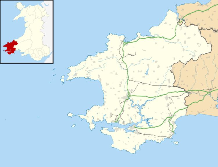
- Map of Maenclochog Clynderwen UK
- Origin of the name
- History
- Community
- Education
- Anglican Church
- References
Map of Maenclochog, Clynderwen, UK
Maenclochog lies south of the Preseli Hills, about one mile southeast of the village of Rosebush on the B4313 Narberth to Fishguard road.
Origin of the name
The origin of the name Maenclochog is unclear. It appears to be made up of two Welsh words, maen ("stone") and clochog ("bells"). A local tale reports that there were stones near Ffynnon Fair, ("Mary's Well"), to the south of the village, which rang like bells when struck, but these were blown to bits by treasure-hunters, under the mistaken belief that they concealed a golden treasure. This may represent nothing more than folk etymology. An alternative proposal is that the second part of the name comes from the Irish word, clochog, meaning a craggy place. This theory is supported by the fact that there was Irish migration to Pembrokeshire in the early Middle Ages, as attested to by the Ogham stones found in the locality and elsewhere, and certainly the name suits the topography of the area.
History
There is evidence of prehistoric occupation in the vicinity of the present village.
Researchers have found what are believed to be the remains of a 13th-century castle at Maenclochog. The village was served by The Maenclochog Railway formally known as the Narberth Road and Maenclochog Railway which ran from Clynderwyn on the Great Western Railway via Maenclochog to Rosebush. The tunnel just outside Maenclochog achieved fame during the war when it was used as a testing site for bombs by Barnes Wallis, creator of the 'bouncing bomb'.
Following the Second World War an attempt by the War Office to take over 16,000 acres of the Preselau slopes, as a permanent military training ground, was thwarted by a strong campaign led by local ministers of religion and headteachers. The acquisition would have meant a loss of farming livelihood and Maenclochog may have become a garrison village.
Community
The village has a local committee to discuss village affairs. There are two general stores and two petrol stations with an MOT service. In the centre of the village is St.Mary's church, the park and the green on a small road island. In the village there are many businesses that include two electrical wholesalers and an art gallery. There is a school and a carpenter's situated about 50 metres northwest of the church. Opposite the green is a pub, The Globe.
Education
Ysgol Gymunedol Maenclochog is a Welsh speaking primary school built in 1878 that has roughly 100 pupils ranging from 3 to 11. The current head of the school is Mrs S Clarke who has had her post since 2010. The school welcomes English speaking pupils and sends them usually once a week to a language learning centre in Crymych. The school uniform is navy blue and black.
Anglican Church
In the centre of the village green is Anglican (Church in Wales) church of St Mary, of mediaeval origins but substantially restored in the 19th century. The architecture was fully described when the church was Grade II listed in 1971.