
Country Thailand Seat Mae Lan Postal code 94180 Area 89.2 km² | Province Pattani Time zone THA (UTC+7) Geocode 9412 Population 14,863 (2005) | |
 | ||
Mae Lan (Thai: แม่ลาน) is a district (Amphoe) of Pattani Province, southern Thailand.
Contents
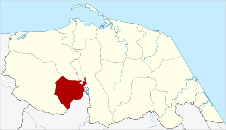
Map of Mae Lan District, Pattani, Thailand
History
The minor district (king amphoe) Mae Lan was formed on April 1, 1989 by splitting off three tambon from Khok Pho district. Becoming effective of September 7, 1995 it was upgraded to a full district.
Geography
Neighboring districts are (from the west clockwise) Khok Pho, Nong Chik and Yarang of Pattani Province, and Mueang Yala of Yala Province.
Administration
The district is subdivided into 3 subdistricts (tambon), which are further subdivided into 22 villages (muban). There are no municipal (thesaban) areas, and 3 Tambon administrative organizations (TAO).
References
Mae Lan District Wikipedia(Text) CC BY-SA