Country Thailand Area 12,681 km2 | Capital Mae Hong Son Population 248,178 | |
Destinations Mae Sariang District, Namtok Mae Surin National Park, Soppong, Salawin National Park, Mae Ngao | ||
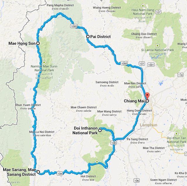
Mae Hong Son Province (Thai: , ; formerly called Mae Rong Son), also spelled Maehongson, Mae Hong Sorn or Maehongsorn, is one of the northern provinces (changwat) of Thailand, on the countrys western border. Neighboring provinces are (clockwise from north) Shan State of Myanmar, Chiang Mai and Tak. To the west, the province borders Kayin State and Kayah State of Myanmar.
Contents
Map of Mae Hong Son Province
The name Mae Hong Son means "the city of three mists". It is hemmed in by the high mountain ranges of the Shan Hills and is the most mountainous province in Thailand and is occupies 13,814 square kilometres (5,334 sq mi). The province is covered with mist throughout the year and its terrain is highly suitable for the training of elephants.
Geography

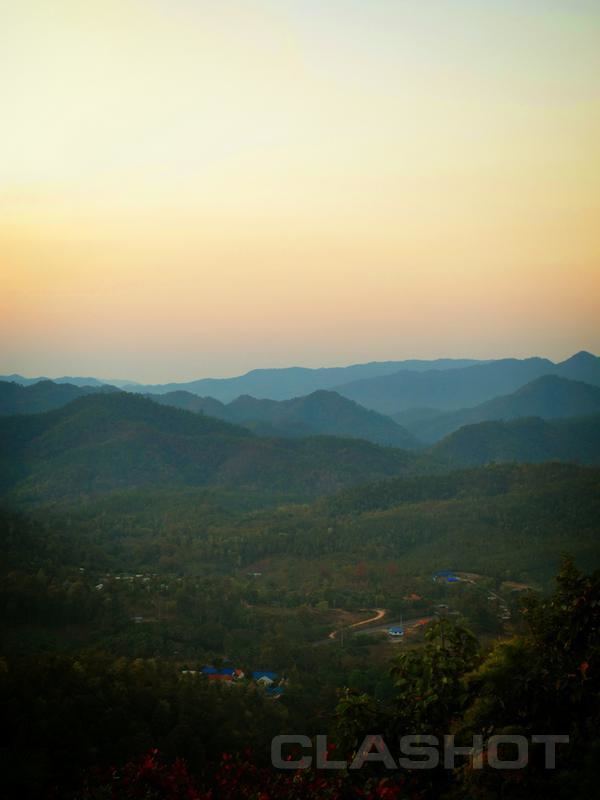
Most of the areas of Mae Hong Son Province are the complex mountain ranges of the Thai highlands, parts of which are still covered with rain forest. Of the approximately 6,976,650 rai of national forest reserves, it is estimated that 88.02% is pristine virgin forest.

The Daen Lao Range, in the northernmost portion of the province, marks the northern boundary between Thailand and Burma, while the Dawna Range in the west serves as the boundary between Thailand and Burma. The Thanon Thongchai Range in the east of the province serves as the boundary between the provinces of Mae Hong Son and Chiang Mai. The highest point of the province is Doi Mae Ya (???????????), in the Pai District in the provinces northeast, at 2,005 metres (6,578 ft) elevation.
Tourism
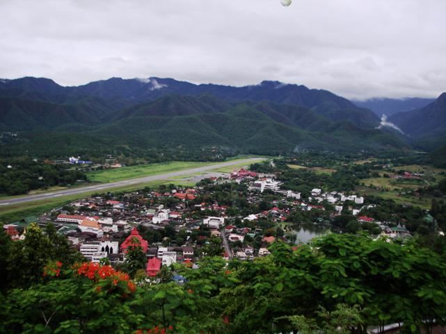
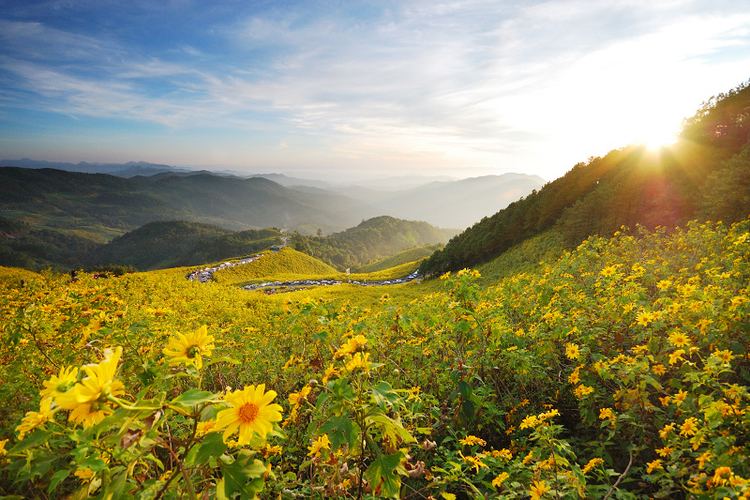
Tourists are attracted to the area due to its forests, mountains, valleys, indigenous wildlife and hill tribes.
Local culture

Events and festivals
Local food

Typical northern food consists of:
