
Location Mae Hong Son Area 721.5 km² Established 1994 | Governing body สำนักอุทยานแห่งชาติ Phone +66 53 071 429 | |
 | ||
Address Salawin National Park, Tambon Mae Khong, Amphoe Mae Sariang, Chang Wat Mae Hong Son 58110, Thailand Hours Closing soon · 8AM–5PMWednesday8AM–5PMThursday8AM–5PMFriday8AM–5PMSaturday8AM–5PMSunday8AM–5PMMonday8AM–5PMTuesday8AM–5PMSuggest an edit Similar Salawin National Park, สำนักงาน, บ้านยอดต, Riverhouse Resort, Eakarak Hotel โรงแรมเอก | ||
Dirt riding in salawin national park
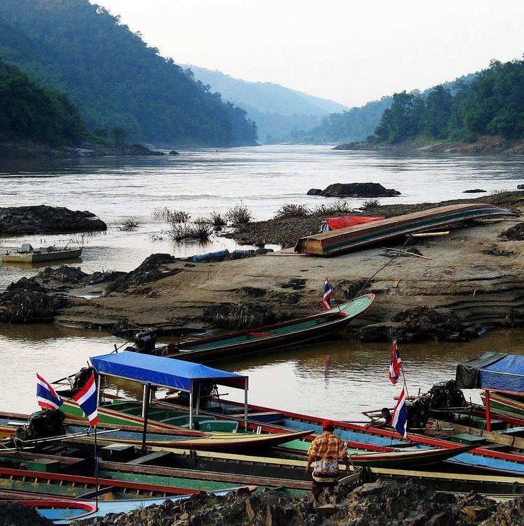
The Salawin National Park or Salween National Park(Thai: อุทยานแห่งชาติสาละวิน) is located in Mae Sariang and Sop Moei Districts in Mae Hong Son Province, northern Thailand, adjacent to its border with Burma. Much of the Thai part of the Salween River is included in the 721.52 square kilometres (278.58 sq mi) park.
Contents
- Dirt riding in salawin national park
- Christian christian salawin national park dry season
- Flora
- References
The terrain includes the mountainous forested area of the Dawna Range and the rocky river. Populated areas within the park include the Karen village of Ta Tar Fan, and the riverside village of Mae Sam Laep.
Christian christian salawin national park dry season
Flora
Thailand's second-largest teak tree is located in the park. Other flora includes Asian redwood and cherrywood. In 1997, an illegal logging scandal, involving forestry and military officials, was uncovered at the park. Almost a third of its trees, and that of the Salawin Wildlife Sanctuary, were logged between 1996 and 1998.