
Area 25,000 km² | ||
 | ||
Country People's Republic of China | ||
Madoi County (Tibetan: རྨ་སྟོད་རྫོང; Chinese: 玛多县; also Matö County or Maduo County) is a county of Golog Tibetan Autonomous Prefecture, in southeast-central Qinghai province. Its area is about 25,000 km2 (9,700 sq mi), and with an average elevation of 4,300 m (14,000 ft) it is the highest Chinese county by average elevation. In Madoi County is the upper stream of the Yellow River which flows to Ngoring and Gyaring lake.
Contents
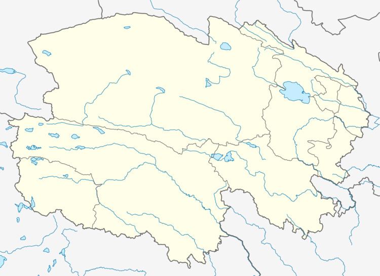
Map of Madoi, Golog, Qinghai, China
Geography
With an elevation of around 4,300 m (14,000 ft), Madoi County has an alpine climate (Köppen EH), with long, bitterly cold and very dry winters, and brief, rainy, cool summers. Average low temperatures are below freezing from early September to mid June; however, due to the wide diurnal temperature variation, average highs are only below freezing from early November thru mid March. Despite frequent rain during summer, when a majority of days sees rain, no month has less than 50% of possible sunshine; with monthly percent possible sunshine ranging from 53% in June to 79% in November, the county seat receives 2,838 hours of bright sunshine annually. The monthly 24-hour average temperature ranges from −16.8 °C (1.8 °F) in January to 7.5 °C (45.5 °F) in July, while the annual mean is −3.84 °C (25.1 °F), making the county seat one of the coldest locales nationwide in terms of annual mean temperature. Nearly three-fourths of the annual precipitation of 322 mm (12.7 in) is delivered from June to September.
Administrative Divisions
Madoi is divided into two towns and two townships: