
Elevation 246 m Local time Friday 12:15 PM | GNIS feature ID 0453587 Area 94.75 km² Population 1,771 (2010) | |
 | ||
ZIP codes 46733, 46745, 46773, 46816 Weather -1°C, Wind SE at 16 km/h, 91% Humidity | ||
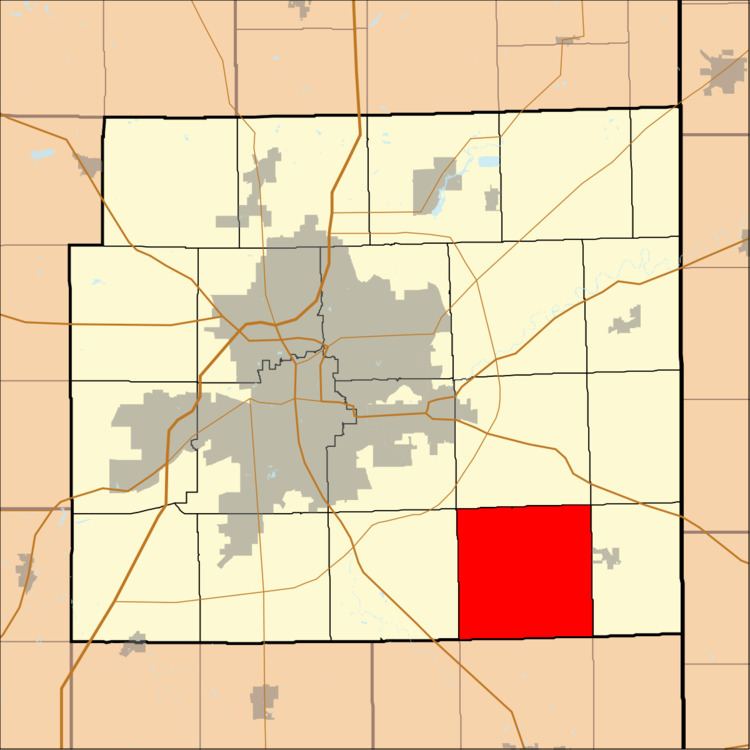
Madison Township is one of twenty townships in Allen County, Indiana, United States. As of the 2010 census, its population was 1,771.
Contents
- Map of Madison Township IN USA
- Geography
- Unincorporated towns
- Adjacent townships
- Cemeteries
- Airports and landing strips
- Landmarks
- School districts
- Political districts
- References
Map of Madison Township, IN, USA
Geography
According to the United States Census Bureau, Madison Township covers an area of 36.58 square miles (94.75 km2).
Unincorporated towns
(This list is based on USGS data and may include former settlements.)
Adjacent townships
Cemeteries
The township contains Massilon Cemetery.
Airports and landing strips
Landmarks
School districts
Political districts
References
Madison Township, Allen County, Indiana Wikipedia(Text) CC BY-SA