
Elevation 254 m Area code 06438 | Time zone IST (UTC+5:30) Telephone/STD code 06438 Population 135,510 (2011) | |
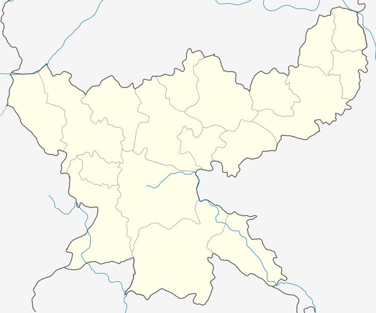 | ||
Madhupur is a community development block that forms an administrative division in Deoghar district, Jharkhand state, India. It is located 29 km from Deoghar, the district headquarters.
Contents
Geography
Madhupur, the eponymous CD Block headquarters, is located at 24°17′36″N 86°38′25″E.
Gram panchayats
Gram panchayats in Madhupur CD Block are: Baranarayanpur, Berwa, Burhai, Charpa, Dalha, Darwe, Dhamani, Gariya, Ghagharjori, Gonaiya, Govindpur, Jamani, Jawagudi, Misarna, Pasiya, Pathljor, Patwabad, Saptar, Siktya, Suggapahari and Udaypura.
Demographics
As per 2011 Census of India Madhupur CD Block had a total population of 135,510, all of which were rural. There were 69,827 (52 %) males and 65,683 (48 %) females. Population below 6 years was 26,591. [Scheduled Castes and Scheduled Tribes|Scheduled Castes]] numbered 20,671 and Scheduled Tribes numbered 20,272.
Literacy
As per 2011 census the total number of literates in Madhupur CD Block was 64,881 (59.57 % of the population over 6 years) out of which 41,095 (63 %) were males and 23,786 (37 %) were females.
As per 2011 census, literacy in Deoghar district was 64.85.Literacy in Jharkhand (for population over 7 years) was 66.41% in 2011. Literacy in India in 2011 was 74.04%.
Transportation
The Ranigunj-Kiul section of the Howrah-Delhi main line was in position in 1871. It provided rail link for Madhupur.