
- elevation 606 m (1,988 ft) - elevation 189 m (620 ft) | - location Hobgoblin | |
 | ||
- left Tooms River, Blackman River, Isis River, Lake River | ||
The Macquarie River (Indigenous palawa kani: teenemairakunah (pron. teen.ner.mair.rer.koon.ner)) is a major perennial river located in the Midlands region of Tasmania, Australia.
Contents
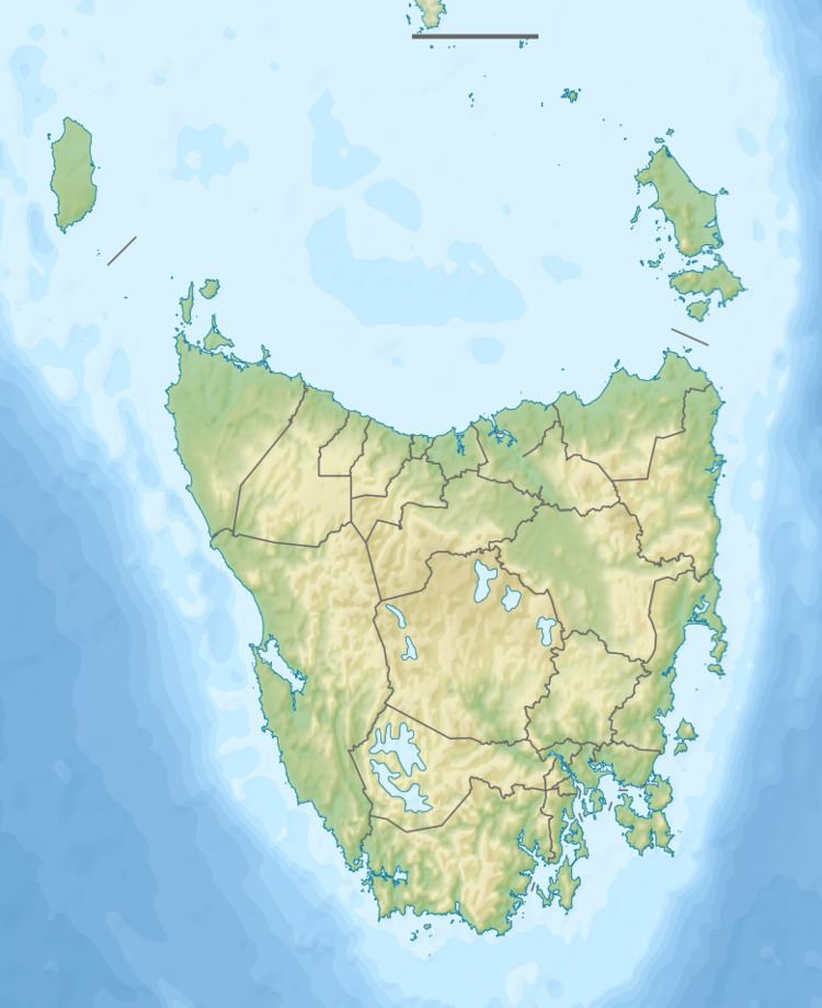
Map of Macquarie River, Tasmania, Australia
Location and features
The Macquarie Rises rises below Tooms Lake, near Hobgoblin and flows generally south and then north-west and through the town of Ross before reaching its confluence with the South Esk River near Longford. The Tooms, Blackman, Elizabeth, Isis and Lake rivers all are tributaries of the Macquarie. The river descends 472 metres (1,549 ft) over its 189-kilometre (117 mi) course.
The traditional custodians of the Macquarie River Valley were the Tyerrernotepanner (chera-noti-pahner) Clan of the North Midlands Nation. The Tyerrernotepanner were a nomadic people who traversed country from the Central Plateau to the Eastern Tiers but were recorded as inhabiting 'resorts' in the Macquarie Valley at Ross, Ellenthorpe Hall, Glen Morriston and Tooms Lake/moyenteleea.