
- location east of Duaringa Length 275 km Basin area 12,992 km² | - elevation 144 m (472 ft) - elevation 65 m (213 ft) Basin area 12,992 km² | |
 | ||
Mouths | ||
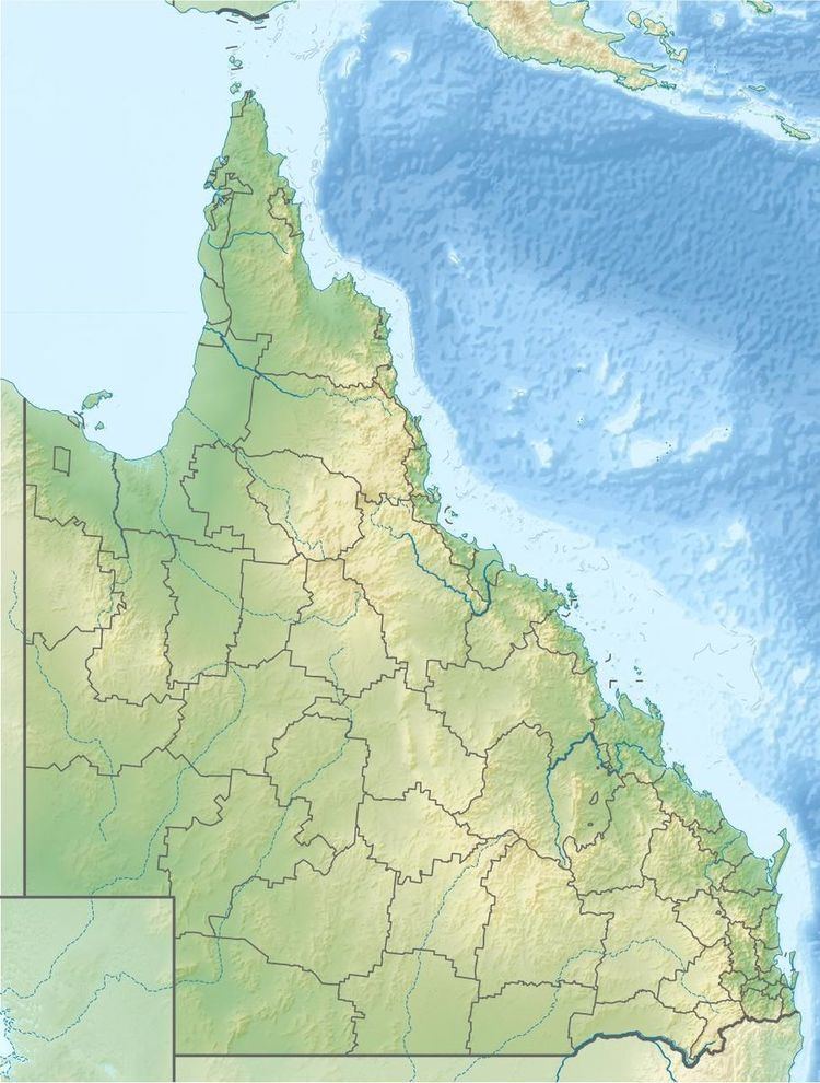
The Mackenzie River is a river located in Central Queensland, Australia. The Mackenzie River is a major tributary of the Fitzroy River, part of the largest river catchment flowing to the eastern coast of Australia.
Contents
Course and features
Formed by the confluence of the Comet and Nogoa rivers flowing from the Expedition Range, the river rises north of Comet and flows generally north by east towards the Broadsound Range. North of the settlement of Royles, the river flows south by east and west of the Goodedulla National Park towards Duaringa and splits as an anabranch on multiple occasions. The river is joined by twenty-four tributaries including the Isaac and Connors rivers and Funnel Creek. Northeast of Duaringa, the Mackenzie is joined by the Dawson River and together they form the Fitzroy River. From source to mouth, the Mackenzie River descends 79 metres (259 ft) over its 275-kilometre (171 mi) course.
The Bingegang Weir near Middlemount contains barramundi, southern saratoga and golden perch. The Bedford Weir and Tartrus Weir are also stocked with barramundi. Bedford Weir is popular with water-skiers and camping is permitted adjacent to the reservoir.
History
The river was discovered by colonial Europeans in 1844 by Ludwig Leichhardt, a German explorer who explored many parts of Queensland and the Northern Territory.