
 | ||
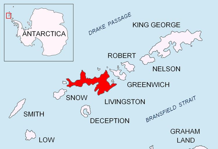
Macheret Trench (Bulgarian: падина Мачерет, ‘Padina Macheret’ pa-'di-na ma-che-'ret) is the narrow, elongated subglacial valley reaching a maximum depth of 120 m below sea level beneath upper Perunika Glacier on Livingston Island in the South Shetland Islands, Antarctica. From its deepest section at 62°36'38.0"S by 60°15'55.0"W, situated north of Rezen Knoll, the feature extends below sea level 3.8 km in southeast direction to near Wörner Gap.
Contents
The feature is named after the Russian glaciologist Yuriy Macheret, leader of the Russian-Spanish-Uzbekistan ice cap radio sounding project that discovered the trench in 2006.
Location
Macheret Trench is centred at 62°37′20″S 60°14′50″W. Russian-Spanish-Uzbekistan mapping in 2009.
Maps
References
Macheret Trench Wikipedia(Text) CC BY-SA