
Population 189 (2011) Sovereign state United Kingdom Dialling code 01260 | OS grid reference SJ977707 Post town MACCLESFIELD | |
 | ||
Points of interest Peak District, Shutlingsloe, Shining Tor, Trentabank Reservoir, Lamaload Reservoir | ||
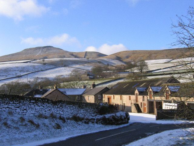
Macclesfield Forest and Wildboarclough is a civil parish in the unitary authority of Cheshire East and the ceremonial county of Cheshire, England. It lies on the western fringe of the Peak District National park. The population of the civil parish taken at the 2011 Census was 189.
Map of Macclesfield Forest and Wildboarclough, UK
The parish is small, so there is no parish council; instead, the residents hold a periodic Parish meeting. The area consists mainly of reservoirs, woodland, farmland, and moorland. There are no centres of population, only a few villages and hamlets, most notably Wildboarclough and Langley.
References
Macclesfield Forest and Wildboarclough Wikipedia(Text) CC BY-SA