
OS grid reference SJ983688 | Local time Monday 2:01 AM Sovereign state United Kingdom | |
 | ||
Weather 6°C, Wind SE at 10 km/h, 81% Humidity | ||
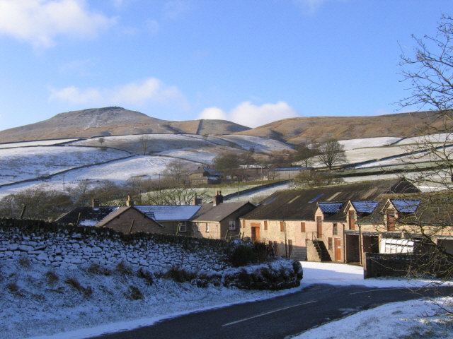
Wildboarclough is a village in east Cheshire, England, in the civil parish of Macclesfield Forest and Wildboarclough within the Peak District National Park. Bilsborough states that the name arises from the rapid rise in levels of the Clough Brook after a heavy fall of rain, but Mills gives it as a deep valley (i.e. a clough) frequented by wild boar. The notion that the name comes from it being the place where the last wild boar in England was killed is a myth.
Map of Wildboarclough, Macclesfield, UK
From the nearby summit of Shutlingsloe (altitude 506 metres), which lies just to the north-west of the village, a wide panorama of the Cheshire Plain and the Peak District can be obtained. In clear conditions the view extends as far as the Mersey Estuary and the Welsh Clwydian Hills 40 miles to the west, and the cooling towers of the power stations on the banks of the River Trent 50 miles to the east. Nearby is the hamlet of Saltersford.