
Occupation Southern Front Population 12,359 (2010) | Time zone EET (UTC+2) Local time Thursday 11:06 PM | |
 | ||
Weather 6°C, Wind S at 5 km/h, 93% Humidity | ||
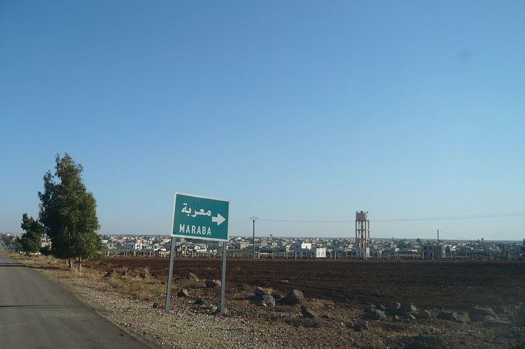
Maaraba (Arabic: معربة, also spelled Ma'rabah) or Moraba (Turkish: Maraba) is a village in southern Syria, administratively part of the Daraa Governorate, located east of Daraa. Nearby localities include Bosra to the east, Umm Walad to the north and Ghasm to the west.
Contents
Map of Mia%60rbah, Syria
History
In 1596 the village appeared in the Ottoman tax registers named Ma'raba, part of the nahiya of Bani Nasiyya in the Qada of Hauran. It had an entirely Muslim population consisting of 29 households and 18 bachelors. They paid a fixed tax-rate of 40% on agricultural products, including wheat, barley, summer crops, goats and beehives, and a water mill; a total of 13,000 akçe. According to the Syria Central Bureau of Statistics, Maaraba had a population of 8,988 in the 2004 census.