
Elevation 531 m (1,742 ft) Local time Monday 1:39 PM | Nahiyah al-Jiza Time zone EET (UTC+2) | |
 | ||
Weather 13°C, Wind W at 26 km/h, 68% Humidity | ||
Ghasm (Arabic: غصم, also spelled Ghasam) is a village in southern Syria, administratively part of the Daraa Governorate, located northeast of Daraa and west of Bosra. Other nearby localities include Maarbah to the east, al-Sahwah to the north, al-Jiza to west and al-Mataaiya to the south. According to the Syria Central Bureau of Statistics (CBS), Ghasm had a population of 3,666 in the 2004 census.
Contents
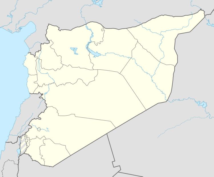
Map of Ghasam, Syria
History
A Roman road, still in use in the late 19th century, leads to Ghasm. The village contains a ruined Byzantine-era church. It was dedicated to the honor of Saints Sergius and Bacchus in 593 CE.
Ghasm's inhabitants were originally settled Bedouin. The Sunni Muslim al-Miqdad clan has been the predominant family in Ghasm and a number of nearby towns since the Ottoman Empire era.
In 1596 Ghasm appeared in the Ottoman tax registers as Gasim and was part of the nahiya of Butayna in the Qada of Hauran. It had an entirely Muslim population consisting of 25 households and 12 bachelors. Taxes were paid on wheat, barley, summer crops, goats and/or beehives, and a water-mill.
In 1895 travellers passing through the village were told of how the Druze had raided the village in 1893. The villagers had to rely on the Druze for the water-course to be led by the village, and in 1894 they had paid the Druze 200 mejidiehs. Late 19th century, the village had 106 houses and a population of 450, including six Christian families.