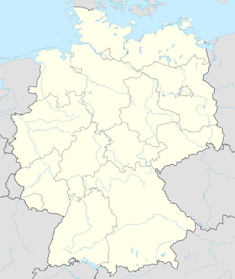
Admin. region Unterfranken Municipal assoc. Maßbach Area 59.31 km² Local time Thursday 9:11 AM Dialling code 09735 | Elevation 284 m (932 ft) Population 4,734 (31 Dec 2008) Postal code 97711 Administrative region Lower Franconia | |
 | ||
Weather 7°C, Wind S at 3 km/h, 76% Humidity | ||
Maßbach is a municipality in the district of Bad Kissingen in Bavaria in Germany.
Contents
- Map of 97711 MaC39Fbach Germany
- Geography
- Neighboring municipalities
- Divisions of the municipality
- History
- Coat of arms
- Sister cities
- Culture
- Transportation
- References
Map of 97711 Ma%C3%9Fbach, Germany
Geography
Maßbach lies between the biosphere reserve of the Bavarian Rhön Mountains and Haßberge.
Neighboring municipalities
Divisions of the municipality
The following towns belong to the municipality:
Maßbach includes the following villages:
History
The town was first documented in 770. Beginning in the mid-19th century many residents of Massbach and the surrounding area emigrated to the United States and settled in Jo Daviess County, Illinois. They named their settlement in Derinda Township "Massbach" after their home village.
Coat of arms
A red and silver shield divided into alternating stripes emanating from a point at the top.
Sister cities
Culture
The Fränkisches Theater Schloss Maßbach is a private theater which presents an ambitious program. The Heimatmuseum is housed in the palace in Maßbach-Poppenlauer
Transportation
There is public bus service to Schweinfurt, Bad Kissingen, and Bad Neustadt. The nearest train station is in Münnerstadt on the Schweinfurt-Erfurt line. The municipality has its own exit from the Autobahn A-71.
