
Vehicle registration SD Elevation 486 m Population 2,553 (1 Apr 2009) Postal code 4792 | Time zone CET (UTC+1) Website www.muenzkirchen.at Area 21 km² Local time Thursday 7:44 PM Area code 07716 | |
 | ||
Weather 7°C, Wind E at 6 km/h, 87% Humidity | ||
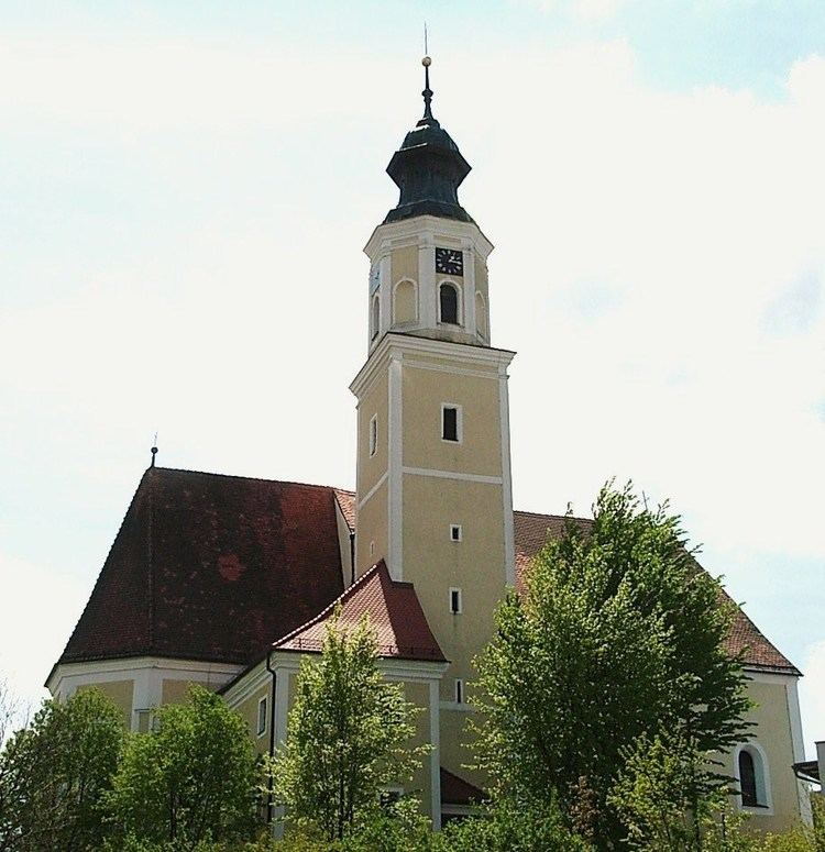
Münzkirchen is a municipality in the district of Schärding in Upper Austria, Austria.
Contents
Map of 4792 M%C3%BCnzkirchen, Austria
Geography
Münzkirchen is divided into the 6 cadastral subdivisions: Eisenbirn, Freundorf, Hofalt, Landertsberg, Münzkirchen and Schießdorf.
The 14 localities which belong to the municipality are Eisenbirn, Eitzenberg, Feicht, Ficht, Freundorf, Füxledt, Geibing, Hötzenberg, Landertsberg, Ludham, Prackenberg, Raad, Schießdorf and Wilhelming.
Maria Mandl
Münzkirchen was the birthplace of Nazi concentration camp guard, Maria Mandl.
References
Münzkirchen Wikipedia(Text) CC BY-SA