
Area code 04769 Elevation 613 m Population 959 (1 Apr 2009) | Time zone CET (UTC+1) Website www.muehldorf-ktn.at Local time Thursday 7:01 PM Postal code 9814 | |
 | ||
Weather 14°C, Wind SW at 10 km/h, 59% Humidity | ||
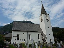
Mühldorf is a municipality in the district of Spittal an der Drau in the Austrian state of Carinthia.
Contents
Map of M%C3%BChldorf, Austria
Geography
It is situated in the lower Möll valley, between the High Tauern mountain ranges of the Reißeck group in the northeast and the Kreuzeck group in the southwest. The municipality has access to the Tauern Railway line at Mühldorf-Möllbrücke station.
History
The settlement was first mentioned in a 1177 deed; the name Mühldorf referred to the numerous mills in the area. The village probably arose around an older salt mine, once owned by the Benedictine monks of Millstatt Abbey, which soon was abandoned, however. In 1844 a loden cape production was established, the facility exists up to today.
The present-day municipality was constituted in 1850. Incorporated into neighbouring Reißeck from 1973, the Mühldorf citizens again voted for independence in 1992.
Politics
Seats in the municipal assembly (Gemeinderat) as of 2015 local elections: