
District Ried im Innkreis Vehicle registration RI Area 11 km² Population 305 (1 Apr 2009) Area code 07758 | Time zone CET (UTC+1) Elevation 383 m Local time Thursday 6:27 PM Postal code 4982 | |
 | ||
Weather 10°C, Wind E at 8 km/h, 79% Humidity | ||
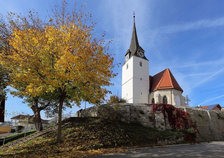
Mörschwang is a municipality in the district of Ried im Innkreis in the Austrian state of Upper Austria.
Contents
Map of Gemeinde M%C3%B6rschwang, Austria
Geography
Mörschwang lies in the Innviertel. About 22 percent of the municipality is forest, and 69 percent is farmland.
References
Mörschwang Wikipedia(Text) CC BY-SA