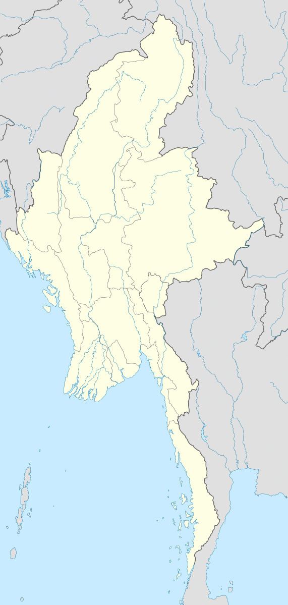
Country Burma District Mongsat District Time zone MST (UTC+6.30) | Elevation 485 m | |
 | ||
Möng Pu or Mong Pu is a village in Mong Ping Township, Mongsat District, Shan State, eastern Myanmar.
Contents
Map of M%C3%B6ng Pu, Myanmar (Burma)
Geography
Mong Pu lies in a small valley surrounded by mountains. Loi San mountain is located about 2 km to the southeast of the town, overlooking the Möng Pu valley.
History
Mongpu State (Möngpu, where Mong is equivalent to Thai Mueang) was one of the Shan States. It was a tributary state of Kengtung State. The capital and residence of the ruler was the town of Mong Pu.
References
Möng Pu Wikipedia(Text) CC BY-SA
