
Time zone CET (UTC+1) Website www.moelbling.at Area 48.73 km² Population 1,331 (1 Apr 2009) | Postal codes 9330. 9312, 9300, 9341 Elevation 585 m Local time Thursday 6:11 PM Area code 04262 | |
 | ||
Weather 16°C, Wind S at 8 km/h, 48% Humidity District Sankt Veit an der Glan District | ||
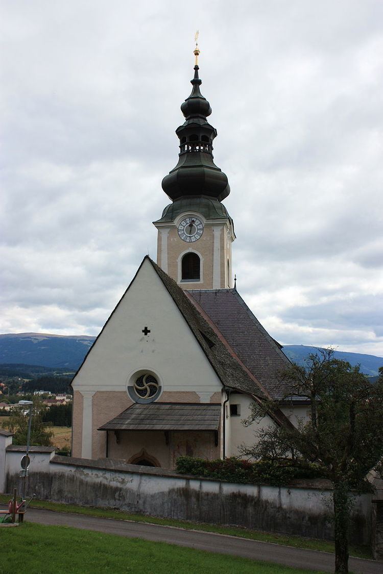
Mölbling (Slovene: Molnek ) is a municipality on the Gurk River in the district of Sankt Veit an der Glan in the Austrian state of Carinthia.
Contents
Map of 9330 M%C3%B6lbling, Austria
Geography
Mölbling lies about 27 km northeast of Klagenfurt. The Gurk runs through the eastern edge of the municipality.
The commune comprises the Katastralgemeinden of Dielach, Gunzenberg, Meiselding, Rabing, and Rastenfeld.
Politics
Seats in the municipal assembly (Gemeinderat) as of 2009 elections:
Personalities
In 1893 the Austrian chemist Carl Auer von Welsbach acquired Rastenfeld Castle as his private residence, where he died in 1929.
References
Mölbling Wikipedia(Text) CC BY-SA