
Country United States ZIP codes 40200-40299 Area 8.8 km² Population 11,278 (2013) Area code 502 | Time zone Eastern (EST) (UTC-5) FIPS code 21-48558 Elevation 177 m Local time Wednesday 11:59 AM | |
 | ||
Weather -1°C, Wind NW at 19 km/h, 40% Humidity University Paul Mitchell The School-Louisville | ||
Lyndon is a home rule-class city in Jefferson County, Kentucky, United States. The population was 9,369 at the 2000 U.S. census.
Contents
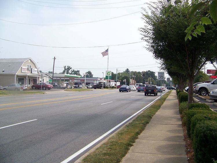
Map of Lyndon, KY, USA
Incorporated on May 10, 1965, Lyndon became part of the new Louisville Metro government in 2003. It remains an independent city with its own mayor and emergency services and is not counted in Louisville's population although its citizens can vote for the mayor of Louisville and Metro Council members.
History
The area is the home of Oxmoor Farm, the residence of Alexander Scott Bullitt, one of the drafters of Kentucky's first constitution.
At some point after 1865, the L&N offered local landowner Alvin Wood connection to their network provided that he pay the costs of constructing the station and donated the land for the spur. He did so and, in 1871, the Lyndon depot began service. The town's etymology remains uncertain, although some connect it to Linn's Station and others to explorer William Linn.
The Kentucky Military Institute moved to the town in 1896. Lyndon is also the location of the Central State Hospital.
In 1963, Lyndon's post office was subsumed by the Louisville system. Lyndon was incorporated soon after in order to avoid annexation by the neighboring city of St. Matthews.
Geography
Lyndon is located at 38°15′52″N 85°35′28″W (38.264521, -85.591223).
According to the United States Census Bureau, the city has a total area of 3.5 square miles (9.1 km2), all land.
Demographics
As of the census of 2000, there were 9,369 people, 4,520 households, and 2,246 families residing in the city. The population density was 2,718.8 people per square mile (1,048.5/km²). There were 4,934 housing units at an average density of 1,431.8 per square mile (552.2/km²). The racial makeup of the city was 85.62% White, 3.12% African American, 6.28% Native American, 2.12% Asian, 0.05% Pacific Islander, 1.15% from other races, and 1.65% from two or more races. Hispanic or Latino of any race were 2.80% of the population.
There were 4,520 households out of which 21.9% had children under the age of 18 living with them, 37.5% were married couples living together, 8.9% had a female householder with no husband present, and 50.3% were non-families. 40.1% of all households were made up of individuals and 7.4% had someone living alone who was 65 years of age or older. The average household size was 2.02 and the average family size was 2.76.
In the city, the population was spread out with 19.5% under the age of 18, 11.1% from 18 to 24, 38.3% from 25 to 44, 19.7% from 45 to 64, and 11.4% who were 65 years of age or older. The median age was 33 years. For every 100 females there were 97.0 males. For every 100 females age 18 and over, there were 95.1 males.
The median income for a household in the city was $42,974, and the median income for a family was $52,013. Males had a median income of $38,231 versus $27,886 for females. The per capita income for the city was $26,394. About 3.8% of families and 5.2% of the population were below the poverty line, including 3.9% of those under age 18 and 8.6% of those age 65 or over.
Economy
Kroger's Mid-South offices are in Lyndon.