Country India District Adilabad PIN 504215 Elevation 145 m Population 11,322 (2011) Area code 08739 | Time zone IST (UTC+5:30) Telephone code 08739 Area 5.94 km² Local time Wednesday 3:10 PM | |
 | ||
Weather 34°C, Wind S at 8 km/h, 42% Humidity | ||
Luxettipet or Lakshettipet is a census town in Mancherial district (Old Adilabad District) of the Indian state of Telangana.
Contents
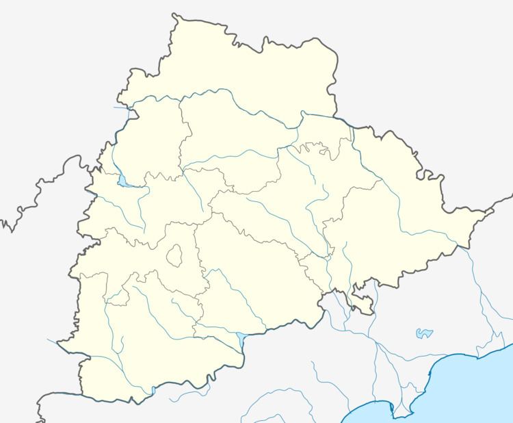
Map of Luxettipet, Telangana
Administrativr Divisions
There are 21 Villages in Laxettipet.
Geography
Lakshettipet is located at 18.8667°N 79.2167°E / 18.8667; 79.2167 on bank of Godavari river, Mancherial District. It has an average elevation of 145 meters (479 ft).
References
Luxettipet Wikipedia(Text) CC BY-SA
