Admin. region Oberpfalz Time zone CET/CEST (UTC+1/+2) Local time Wednesday 5:45 AM Postal code 92331 Administrative region Upper Palatinate | Elevation 532 m (1,745 ft) Area 30.68 km² Population 2,341 (31 Dec 2008) Dialling code 09492 | |
 | ||
Weather 2°C, Wind W at 5 km/h, 93% Humidity | ||
Lupburg is a municipality in the district of Neumarkt in Bavaria in Germany.
Contents
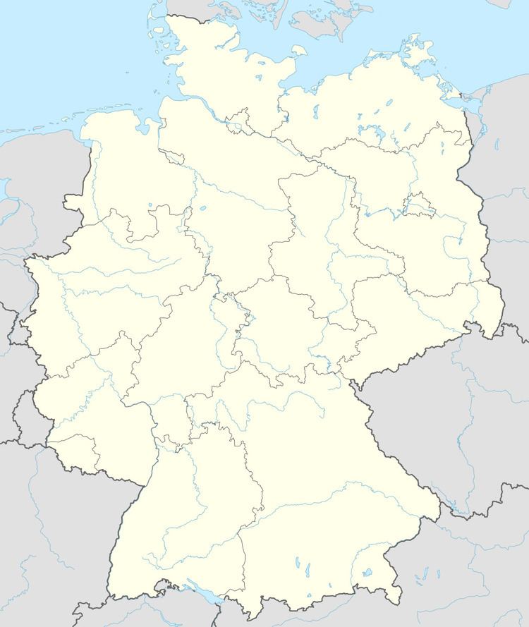
Map of 92331 Lupburg, Germany
Sightseeing
The restored Lupburg Castle, which was destroyed by the Swedes in the Thirty Years War, tower over the city's cobblestone market square, which also features a beautiful medieval church. The castle was restored in 2012-13 and now houses government administrative offices. The city of Parsberg and the U.S. Army installation at Hohenfels are nearby, as is the lovely Altmuhl River valley. In addition to these, numerous castles and ruins are in the area.
Clubs
Churches
References
Lupburg Wikipedia(Text) CC BY-SA
