
Area 2,144 km² | Time zone China Standard (UTC+8) | |
 | ||
Country People's Republic of China | ||
Luotian County (simplified Chinese: 罗田县; traditional Chinese: 羅田縣; pinyin: Luótián Xiàn) is a county of eastern Hubei province, People's Republic of China. It is under the administration of Huanggang City. Located in the foothills of the Dabie Mountains, the county has a population of about 600,000 and covers an area of 2,144 square kilometres (828 sq mi).
Contents
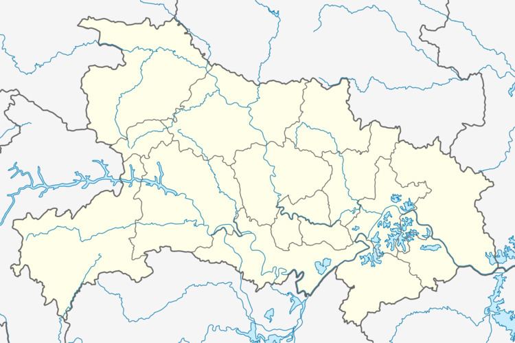
- Map of Luotian Huanggang Hubei China
- Geography
- History
- Economy
- Transportation
- Notable inhabitants
- References
Map of Luotian, Huanggang, Hubei, China
Geography
Luotian County is located at the east of Hubei Province. It located at South of Dabie Mountains.
The east is Yingshan County, the south is Xishui County, the west is Tuanfeng County and Ma Chen City, the north is Kin Zai County of Anhui Province.
History
523year, Liang dynasty established this county first.
621year, Tang dynasty closed Luotian County, and Incorporated into the Lan Xi County.
1093year, Song dynasty established Luotian County again.
1234year, This county was occupied by Mongolia. after Song dynasty, this county was abandoned.
1237year, Waste county again.
1275year, re-established Luotian County.
Economy
Luotian County is well known for its abundant production of silkworm, sweet persimmon, and particularly chestnut, in which it is the leading producer of all Chinese counties. The county is more than 60% covered by forest, with many chestnut trees. The Staple is chestnut.
The county has produced geothermal energy and high quality mineral water for more than 150 years. It also has silver, lead, zinc, iron, fluorspar, feldspar, mica, chiolite and other minerals, as well as granite and white marble.
The main industries are food processing, electrical machinery, pharmaceuticals, car parts, building materials, and tourism.