
PIN 795142 Local time Wednesday 9:24 AM | Time zone IST (UTC+5:30) Vehicle registration MN | |
 | ||
Weather 14°C, Wind NW at 3 km/h, 46% Humidity | ||
Lunghar, also incorrectly called Nungharis a village located north of Ukhrul in Ukhrul district, Manipur state, India. National Highway 150, Imphal-Kohima road via Jessami passes through Nunghar and the village is about 18 kilometers from Ukhrul. Lunghar is flanked by Sihai in the east, Longpi in the north, Phungcham and Halang in the west and Shirui in the south. Locally inhabitants speak Lunghir dialect which belongs to the Tibeto-Burman language family. The village is divided into four major tangs; Sosotang, Layintang, Huishunaotang and Asaitang.
Contents
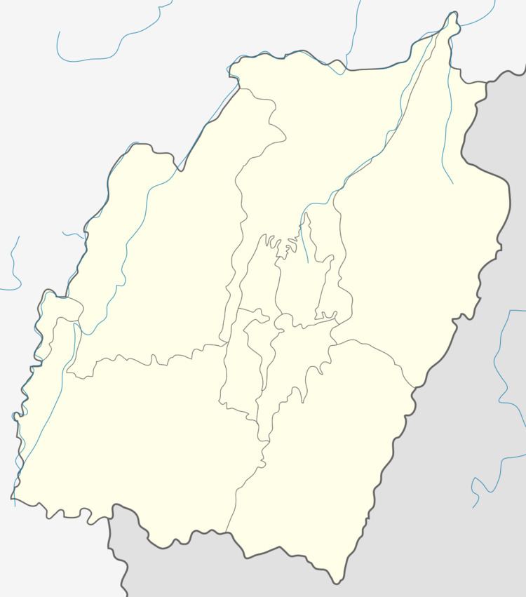
Map of Lunghar, Manipur 795142
Total population
According to 2011 census, Lunghar has 435 households with the total of 1917 people of which 943 are male and 974 are female. Of the total population, 246 were in the age group of 0–6 years. The average sex ratio of Lunghar village is 1033 female to 1000 male which is higher than the state average of 985. The literacy rate of the village stands at 71.99%. Male literacy rate stands at 78.16% while female literacy rate was 66.00%.
People and occupation
The village is home to people of Tangkhul Naga tribe. Majority of the inhabitants are Christians. Agriculture is the primary occupation of the inhabitants. The village is well known in the district for its scenic beauty. The village was recently in the news because of widespread pine tree disease that also hit the vast reserved tree plantation area of the village.